Transport Functions
Multimodal
Hub Profile
Place type
Populated place
Region
Pays de la Loire
Population
2,687
Time zone
Europe/Paris
Elevation
47 m
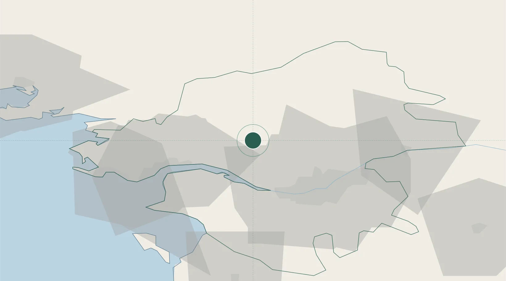
Location
Nearby Logistics Neighbours
Cities
- 1Blain8 km
- 2La Chapelle-Launay14 km
- 3Plessé14 km
- 4Nantes15 km
- 5Treillières16 km
Ports
- 1Donges24 km
- 2Montoir28 km
- 3Nantes30 km
- 4St Nazaire34 km
- 5Les Sables D' Olonne102 km
Airports
Trade Zones
- 1ZFU Nantes et Saint-Herblain23 km
- 2ZFU Saint-Nazaire39 km
- 3ZFU Angers91 km
- 4ZFU La Rochelle147 km
- 5ZFU Le Mans157 km
DatabookThe Record of Consolidated Knowledge
France beyond logistics?