Transport Functions
Rail
Road
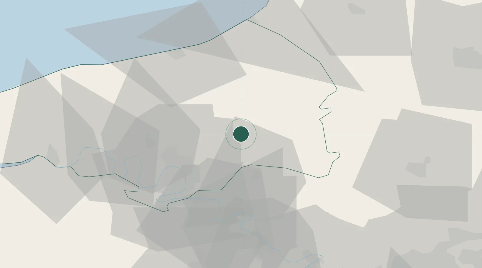
Hub Profile
Place type
Populated place
Region
Normandy
Population
1,267
Time zone
Europe/Paris
Elevation
196 m
Location
Nearby Logistics Neighbours
Cities
- 1Les Hayons13 km
- 2Clères17 km
- 3Bonsecours23 km
- 4Malaunay24 km
- 5Le Houlme24 km
Ports
- 1Port Of Rouen25 km
- 2Dieppe43 km
- 3Le Treport54 km
- 4Saint-Valery-Sur-Somme69 km
- 5Fecamp74 km
Airports
Trade Zones
- 1ZFU Rouen Bihorel23 km
- 2ZFU Beauvais53 km
- 3ZFU Évreux64 km
- 4ZFU Amiens65 km
- 5ZFU Mantes-la-Jolie71 km
DatabookThe Record of Consolidated Knowledge
France beyond logistics?