Transport Functions
Road
Multimodal
Hub Profile
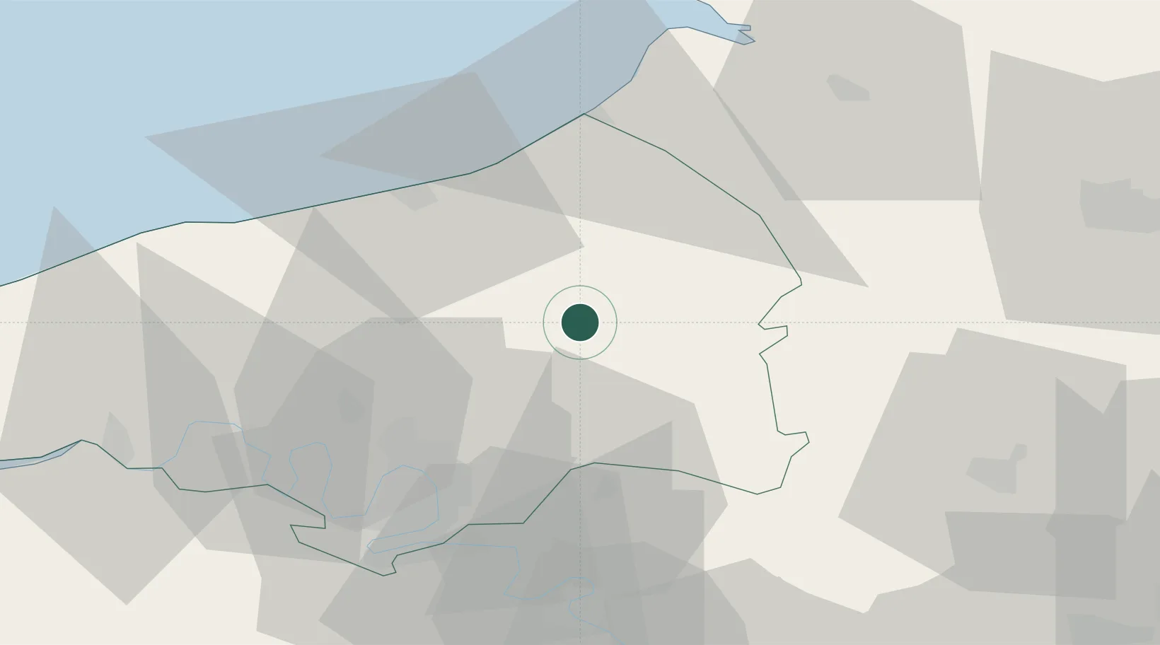
Place type
Populated place
Region
Normandy
Time zone
Europe/Paris
Elevation
232 m
Location
Nearby Logistics Neighbours
Cities
- 1Buchy13 km
- 2Callengeville16 km
- 3Clères21 km
- 4Foucarmont22 km
- 5Anneville-sur-Scie25 km
Ports
- 1Dieppe33 km
- 2Port Of Rouen35 km
- 3Le Treport41 km
- 4Saint-Valery-Sur-Somme57 km
- 5Fecamp72 km
Airports
Trade Zones
- 1ZFU Rouen Bihorel33 km
- 2ZFU Beauvais57 km
- 3ZFU Amiens58 km
- 4ZFU Évreux77 km
- 5ZFU Mantes-la-Jolie83 km
DatabookThe Record of Consolidated Knowledge
France beyond logistics?