Transport Functions
Rail
Road
Hub Profile
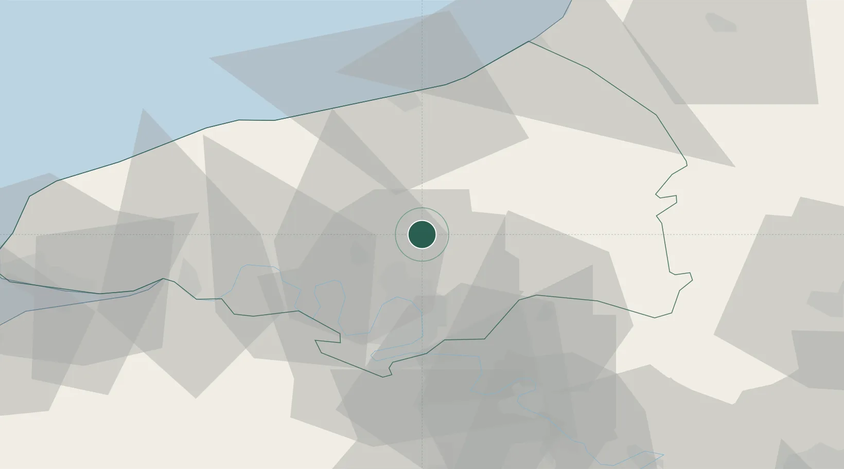
Place type
Populated place
Region
Normandy
Population
1,298
Time zone
Europe/Paris
Elevation
94 m
Location
Nearby Logistics Neighbours
Cities
- 1Malaunay10 km
- 2Le Houlme11 km
- 3Pavilly13 km
- 4Saussay14 km
- 5La Vaupalière15 km
Ports
- 1Port Of Rouen17 km
- 2Dieppe37 km
- 3Le Treport55 km
- 4Fecamp57 km
- 5Honfleur68 km
Airports
Trade Zones
- 1ZFU Rouen Bihorel15 km
- 2ZFU Évreux64 km
- 3ZFU Beauvais70 km
- 4ZFU Le Havre73 km
- 5ZFU Amiens79 km
DatabookThe Record of Consolidated Knowledge
France beyond logistics?