Transport Functions
Rail
Road
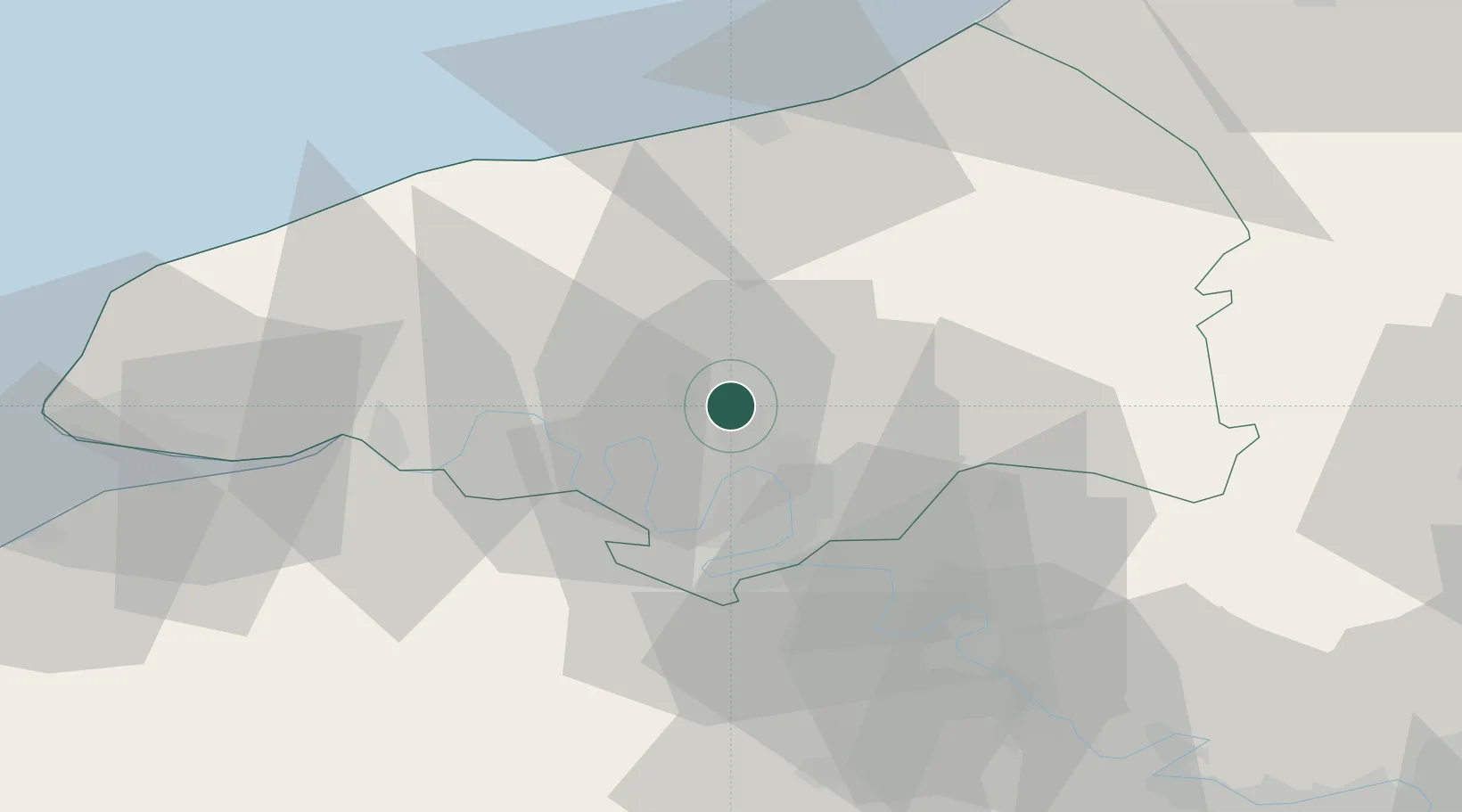
Hub Profile
Place type
Populated place
Region
Normandy
Population
5,943
Time zone
Europe/Paris
Elevation
40 m
Location
Nearby Logistics Neighbours
Cities
- 1Le Houlme2 km
- 2La Vaupalière6 km
- 3Pavilly7 km
- 4Clères10 km
- 5Dieppedalle11 km
Ports
- 1Port Of Rouen10 km
- 2Dieppe45 km
- 3Fecamp55 km
- 4Honfleur60 km
- 5Le Treport64 km
Airports
Trade Zones
- 1ZFU Rouen Bihorel9 km
- 2ZFU Évreux57 km
- 3ZFU Le Havre66 km
- 4ZFU Beauvais74 km
- 5ZFU Mantes-la-Jolie78 km
DatabookThe Record of Consolidated Knowledge
France beyond logistics?