Transport Functions
Multimodal
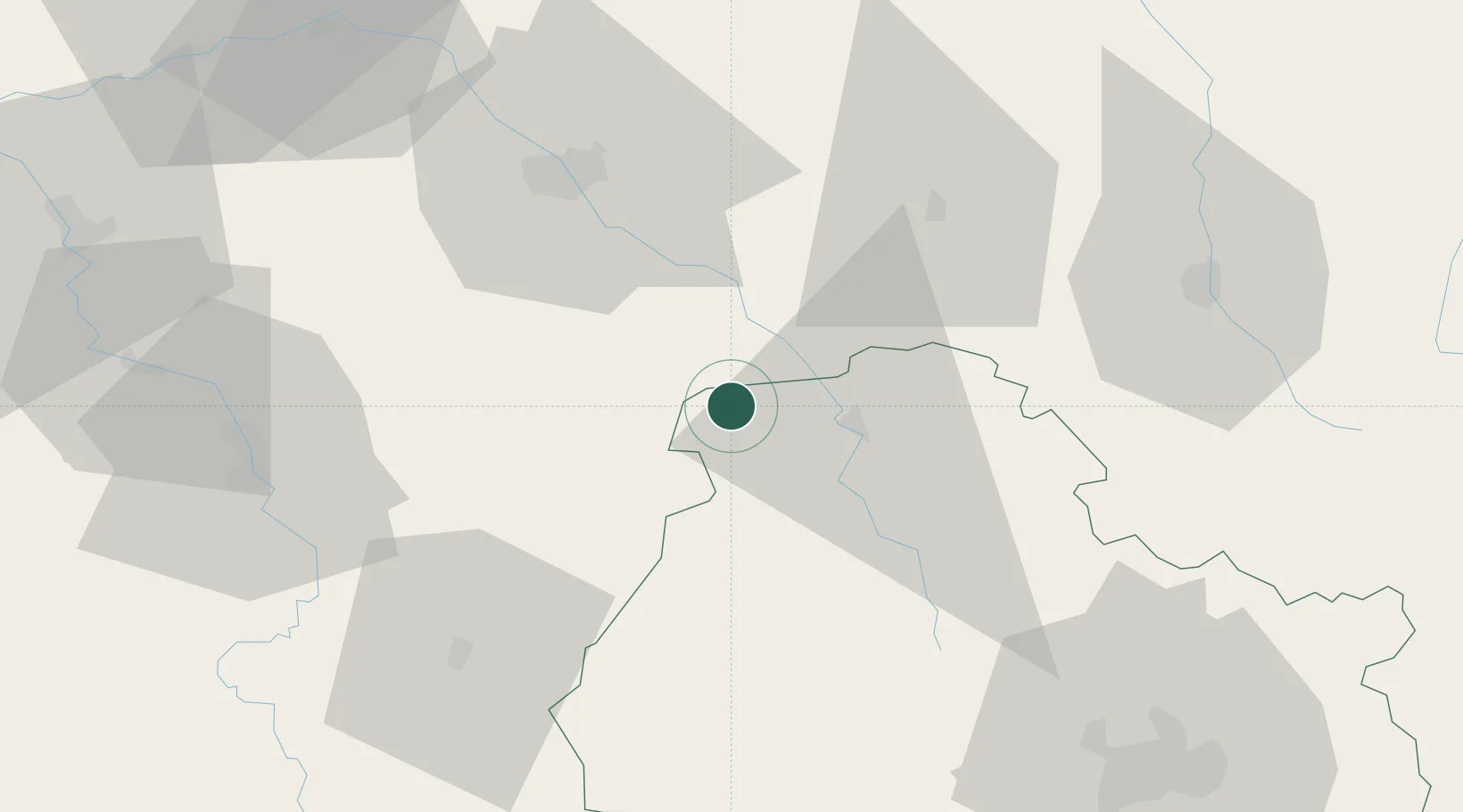
Hub Profile
Place type
Populated place
Region
Bourgogne
Population
100
Time zone
Europe/Paris
Elevation
206 m
Location
Nearby Logistics Neighbours
Cities
- 1Marcenay6 km
- 2Les Riceys7 km
- 3Channes9 km
- 4Bagneux-la-Fosse10 km
- 5Gomméville11 km
Ports
- 1Port Of Rouen296 km
- 2Saint-Valery-Sur-Somme322 km
- 3Le Treport324 km
- 4Bruxelles328 km
- 5Dieppe328 km
Airports
Trade Zones
DatabookThe Record of Consolidated Knowledge
France beyond logistics?