Transport Functions
Port
Hub Profile
Place type
Populated place
Region
Grand Est
Population
147
Time zone
Europe/Paris
Elevation
306 m
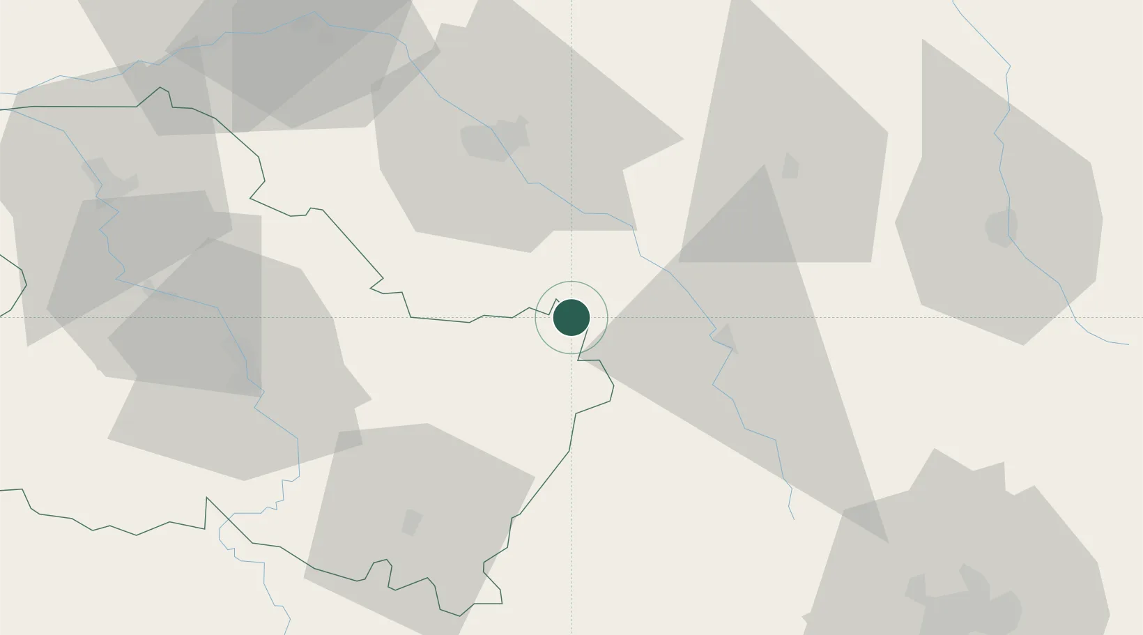
Location
Nearby Logistics Neighbours
Cities
- 1Bagneux-la-Fosse6 km
- 2Villedieu9 km
- 3Les Riceys10 km
- 4Avirey-Lingey12 km
- 5Marcenay13 km
Ports
- 1Port Of Rouen288 km
- 2Saint-Valery-Sur-Somme315 km
- 3Le Treport317 km
- 4Dieppe321 km
- 5Bruxelles326 km
Airports
Trade Zones
DatabookThe Record of Consolidated Knowledge
France beyond logistics?