Transport Functions
Rail
Road
Hub Profile
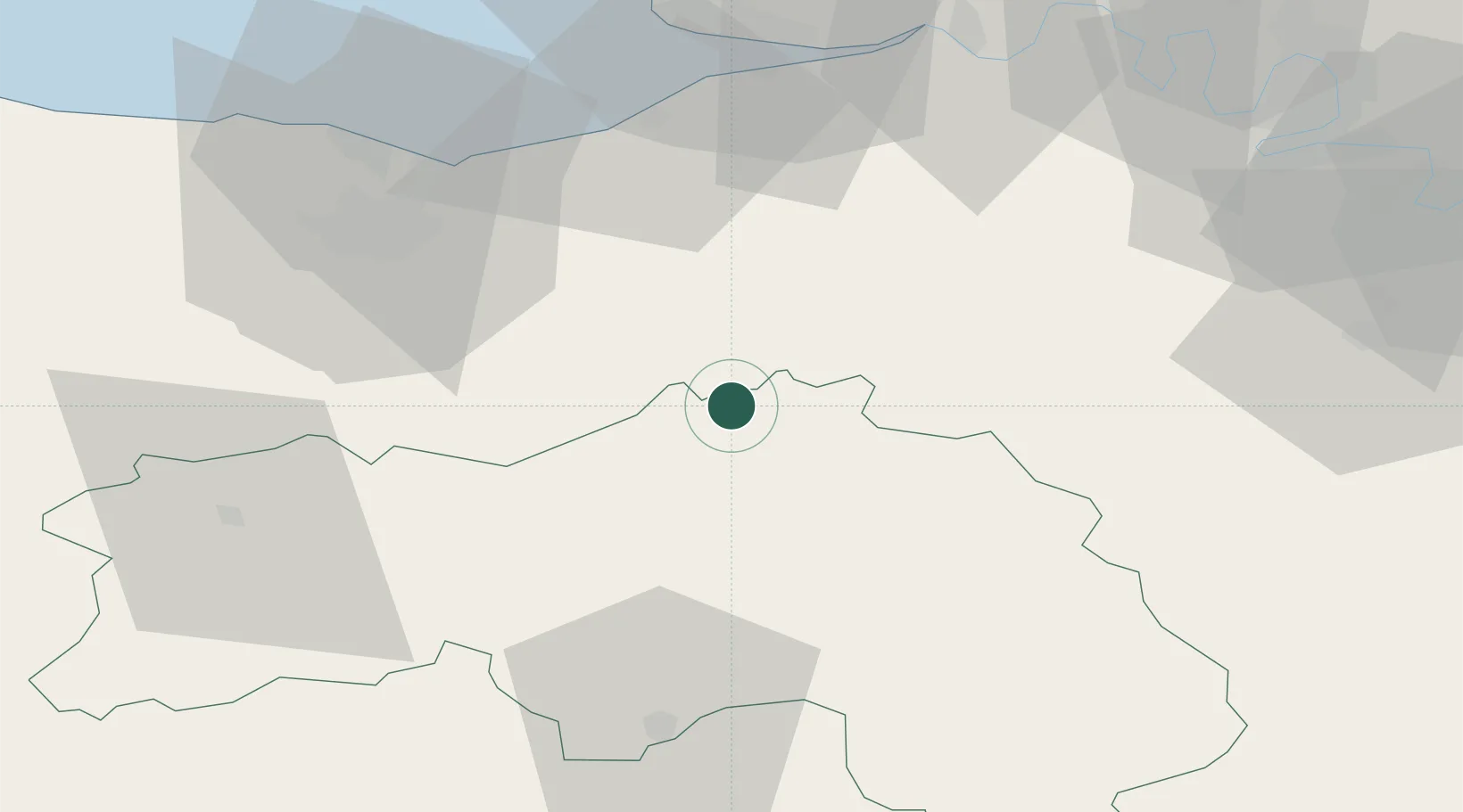
Place type
Populated place
Region
Normandy
Population
3,964
Time zone
Europe/Paris
Elevation
100 m
Location
Nearby Logistics Neighbours
Cities
- 1Crouttes5 km
- 2Saint-Germain-de-Livet19 km
- 3Capelle-les-Grands25 km
- 4Juvigny-sur-Orne25 km
- 5Mézidon-Canon27 km
Ports
- 1Port De Caen50 km
- 2Deauville51 km
- 3Ouistreham52 km
- 4Honfleur56 km
- 5Port Of Le Havre63 km
Airports
Trade Zones
- 1ZFU Hérouville-Saint-Clair51 km
- 2ZFU La Guérinière, La Grâce de Dieu53 km
- 3ZFU Alençon55 km
- 4ZFU Le Havre65 km
- 5ZFU Évreux70 km
DatabookThe Record of Consolidated Knowledge
France beyond logistics?