UN/LOCODE hub · France
FRLI5

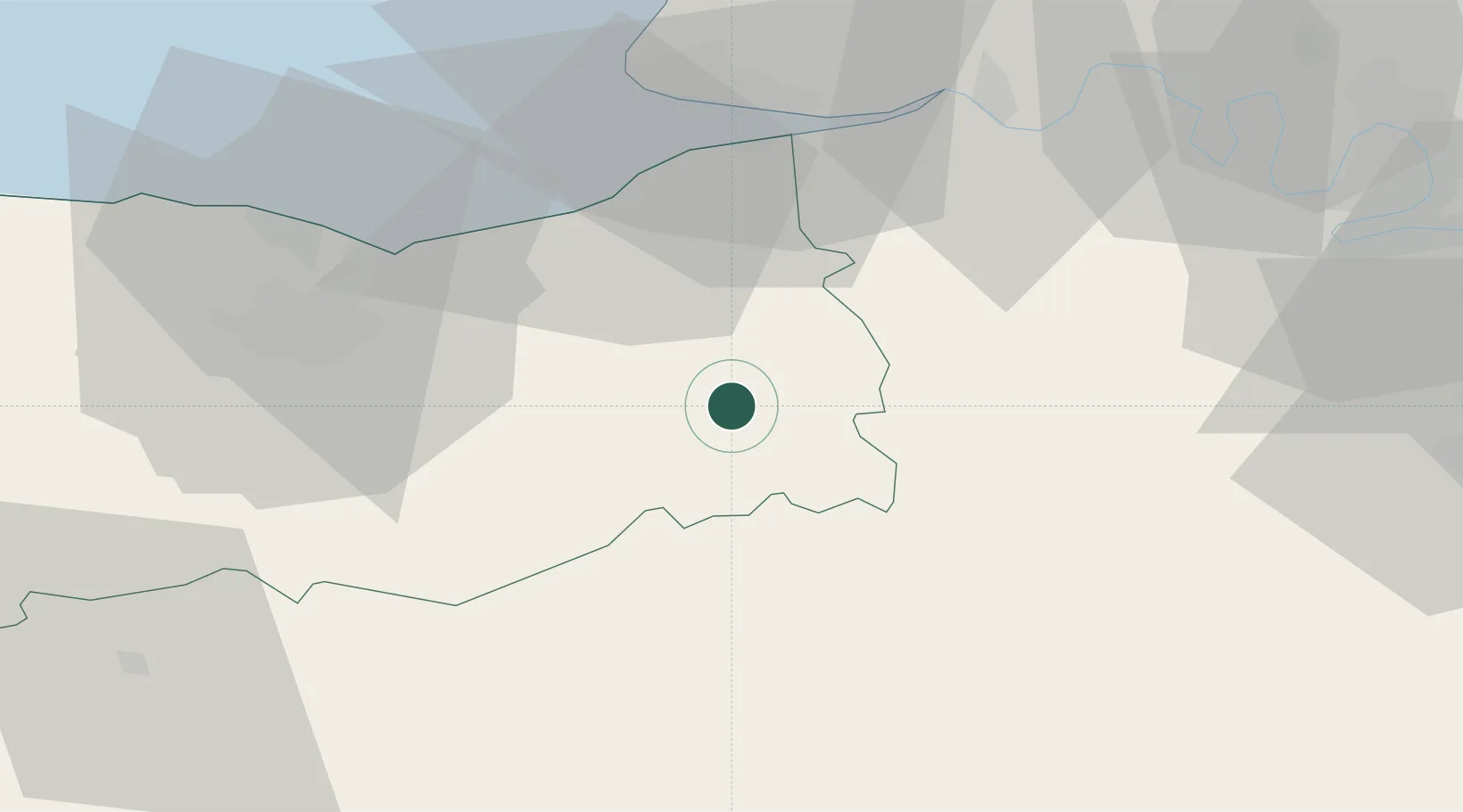
Saint-Germain-de-Livet

49.0833°, 0.2167°
612
Population
1
Transport functions

Transport Functions

Multimodal
UN/LOCODE

Hub Profile

Place type
Populated place
GeoNames
Region
Normandy
GeoNames
Population
612
GeoNames
Time zone
Europe/Paris
GeoNames
Elevation
111 m
GeoNames

Location

Location of FRLI5
Natural Earth 10m (public domain) · Normandy · FRLI5 · 49.08, 0.22GoogleOSMYandex

Nearby Logistics Neighbours

Cities
  1. 1Hermival-les-Vaux11 km
  2. 2Ouilly-du-Houley13 km
  3. 3Coquainvilliers13 km
  4. 4Grandouet13 km
  5. 5Montreuil-en-Auge15 km
Nearest neighbours — logibook spatial index (haversine) over the source coordinates
Ports
  1. 1Deauville33 km
  2. 2Honfleur37 km
  3. 3Ouistreham41 km
  4. 4Port De Caen43 km
  5. 5Port Of Le Havre45 km
Nearest neighbours — logibook spatial index (haversine) over the source coordinates
Airports
  1. 1Deauville Normandie airport32 km
  2. 2Caen Carpiquet airport50 km
  3. 3Le Havre-Octeville Airport51 km
  4. 4Évreux-Fauville (BA 105) Air Base73 km
  5. 5Rouen Vallée de Seine Airport78 km
Nearest neighbours — logibook spatial index (haversine) over the source coordinates
Trade Zones
  1. 1ZFU Hérouville-Saint-Clair43 km
  2. 2ZFU La Guérinière, La Grâce de Dieu47 km
  3. 3ZFU Le Havre47 km
  4. 4ZFU Évreux68 km
  5. 5ZFU Alençon73 km
Nearest neighbours — logibook spatial index (haversine) over the source coordinates
DatabookThe Record of Consolidated Knowledge
France beyond logistics?
Browse databook

All Sources

LocationsUN/LOCODE
UN/LOCODE — free
LocationsGeoNames
CC BY 4.0
Portsthe NGA World Port Index
Public domain (US gov)
AirportsOurAirports
Public domain
Trade Zonesthe World Bank SEZ database
CC BY 4.0
Trade ZonesOpen Zone Map
CC BY
← France locations