Transport Functions
Rail
Road
Hub Profile
Place type
Populated place
Region
Nouvelle-Aquitaine
Time zone
Europe/Paris
Elevation
77 m
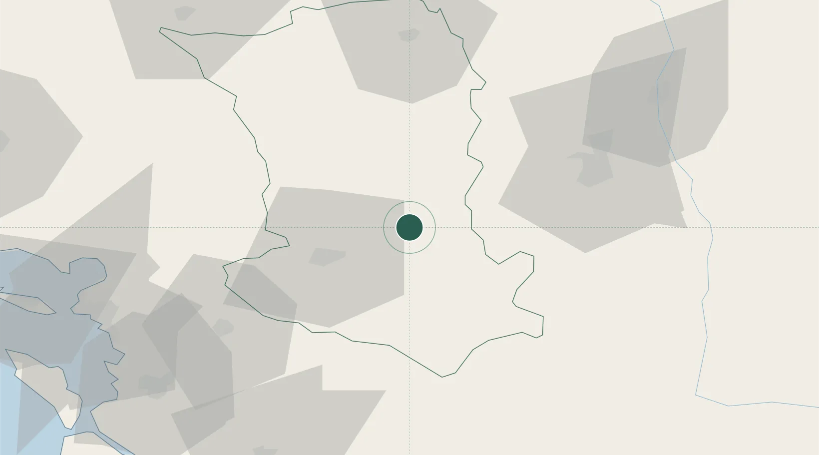
Location
Nearby Logistics Neighbours
Cities
- 1Thorigné15 km
- 2La Boissière-en-Gâtine21 km
- 3Aiffres22 km
- 4Niort23 km
- 5Lusignan24 km
Ports
- 1Tonnay Charente76 km
- 2La Rochelle79 km
- 3Rochefort79 km
- 4La Pallice83 km
- 5Le Verdon117 km
Airports
Trade Zones
- 1ZFU La Rochelle83 km
- 2ZFU Angers122 km
- 3ZFU Nantes et Saint-Herblain145 km
- 4Port de Bordeaux170 km
- 5ZFU Blois171 km
DatabookThe Record of Consolidated Knowledge
France beyond logistics?