Transport Functions
Port
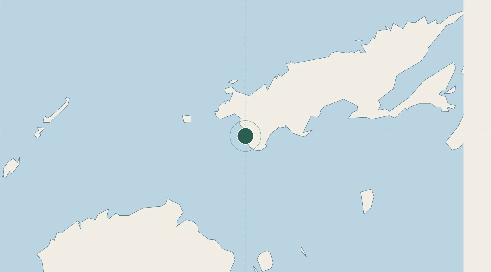
Hub Profile
Place type
Populated place
Region
Northern
Time zone
Pacific/Fiji
Elevation
10 m
Location
Nearby Logistics Neighbours
Cities
- 1Nambouwalu8 km
- 2Ellington Wharf68 km
- 3Labasa94 km
- 4Malau (Labasa)98 km
- 5Vatia Wharf110 km
Ports
- 1Savusavu Bay73 km
- 2Suva Harbor138 km
- 3Lautoka Harbor150 km
- 4Funafuti Atoll935 km
- 5Port Vila1102 km
Airports
- 1Savusavu Airport73 km
- 2Labasa Airport87 km
- 3Levuka Airfield89 km
- 4Koro Island Airport93 km
- 5Yasawa Island Airport121 km
Trade Zones
- 1Vanua Levu Tax-Free Region49 km
- 2Savusavu Industrial Zone72 km
- 3Nausori-Ba Tax-Free Region124 km
- 4Kalabu Tax Free Zone132 km
- 5Rotuma-Kadavu Tax-Free Region139 km
DatabookThe Record of Consolidated Knowledge
Fiji beyond logistics?