Transport Functions
Rail
Road
Hub Profile
Place type
Populated place
Region
Pirkanmaa
Time zone
Europe/Helsinki
Elevation
101 m
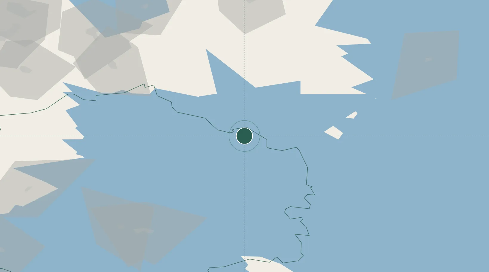
Location
Nearby Logistics Neighbours
Cities
- 1Vilppula13 km
- 2Ruovesi28 km
- 3Multia34 km
- 4Virrat (Virdois)41 km
- 5Kintaus44 km
Ports
- 1Hellnas173 km
- 2Kantlax182 km
- 3Nykarleby184 km
- 4Pietarsaari196 km
- 5Kokkola205 km
Airports
- 1Halli Airport34 km
- 2Jyväskylä Airport67 km
- 3Tampere-Pirkkala Airport93 km
- 4Seinäjoki Airport107 km
- 5Kauhajoki Airfield116 km
Trade Zones
- 1Turku Free Zone225 km
- 2Free Zone of Lappeenranta226 km
- 3Port of Hamina-Kotka226 km
- 4Freeport of Hanko271 km
- 5Paldiski Free Zone312 km
DatabookThe Record of Consolidated Knowledge
Finland beyond logistics?