Transport Functions
Rail
Road
Hub Profile
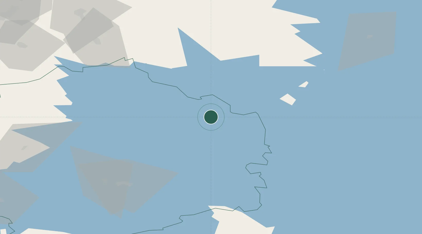
Place type
District seat
Region
Pirkanmaa
Population
5,422
Time zone
Europe/Helsinki
Elevation
113 m
Location
Nearby Logistics Neighbours
Cities
- 1Kolho13 km
- 2Ruovesi23 km
- 3Längelmäki38 km
- 4Kaipola43 km
- 5Kuru44 km
Airports
- 1Halli Airport23 km
- 2Jyväskylä Airport74 km
- 3Tampere-Pirkkala Airport83 km
- 4Seinäjoki Airport115 km
- 5Kauhajoki Airfield121 km
Trade Zones
- 1Turku Free Zone214 km
- 2Port of Hamina-Kotka215 km
- 3Free Zone of Lappeenranta219 km
- 4Freeport of Hanko259 km
- 5Paldiski Free Zone299 km
DatabookThe Record of Consolidated Knowledge
Finland beyond logistics?