UN/LOCODE hub · Finland
FITUR

Tuuri

62.6000°, 23.7500°
777
Population
1
Transport functions

Transport Functions

Multimodal
UN/LOCODE

Hub Profile

Place type
Populated place
GeoNames
Region
South Ostrobothnia
GeoNames
Population
777
GeoNames
Time zone
Europe/Helsinki
GeoNames
Elevation
132 m
GeoNames

Location

Location of FITUR
Natural Earth 10m (public domain) · South Ostrobothnia · FITUR · 62.60, 23.75GoogleOSMYandex

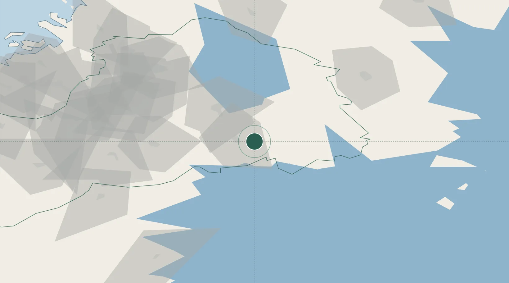
Nearby Logistics Neighbours

Cities
  1. 1Virrat (Virdois)41 km
  2. 2Lestijärvi47 km
  3. 3Nurmo51 km
  4. 4Multia57 km
  5. 5Hakkola58 km
Nearest neighbours — logibook spatial index (haversine) over the source coordinates
Ports
  1. 1Hellnas108 km
  2. 2Kantlax117 km
  3. 3Nykarleby119 km
  4. 4Vaasa123 km
  5. 5Kristinestad126 km
Nearest neighbours — logibook spatial index (haversine) over the source coordinates
Airports
  1. 1Seinäjoki Airport48 km
  2. 2Kauhava Airfield69 km
  3. 3Kauhajoki Airfield71 km
  4. 4Halli Airport99 km
  5. 5Jyväskylä Airport102 km
Nearest neighbours — logibook spatial index (haversine) over the source coordinates
Trade Zones
  1. 1Turku Free Zone253 km
  2. 2Oulu Port Free Warehouse Area279 km
  3. 3Free Zone of Lappeenranta287 km
  4. 4Port of Hamina-Kotka291 km
  5. 5Freeport of Hanko312 km
Nearest neighbours — logibook spatial index (haversine) over the source coordinates
DatabookThe Record of Consolidated Knowledge
Finland beyond logistics?
Browse databook

All Sources

LocationsUN/LOCODE
UN/LOCODE — free
LocationsGeoNames
CC BY 4.0
Portsthe NGA World Port Index
Public domain (US gov)
AirportsOurAirports
Public domain
Trade Zonesthe World Bank SEZ database
CC BY 4.0
Trade ZonesOpen Zone Map
CC BY
← Finland locations