UN/LOCODE hub · Finland
FIKYP

Kylanpää

62.9000°, 22.0833°
2
Transport functions

Transport Functions

Road
Multimodal
UN/LOCODE

Hub Profile

Place type
Populated place
GeoNames
Region
Southwest Finland
GeoNames
Time zone
Europe/Helsinki
GeoNames
Elevation
57 m
GeoNames

Location

Location of FIKYP
Natural Earth 10m (public domain) · Southwest Finland · FIKYP · 62.90, 22.08GoogleOSMYandex

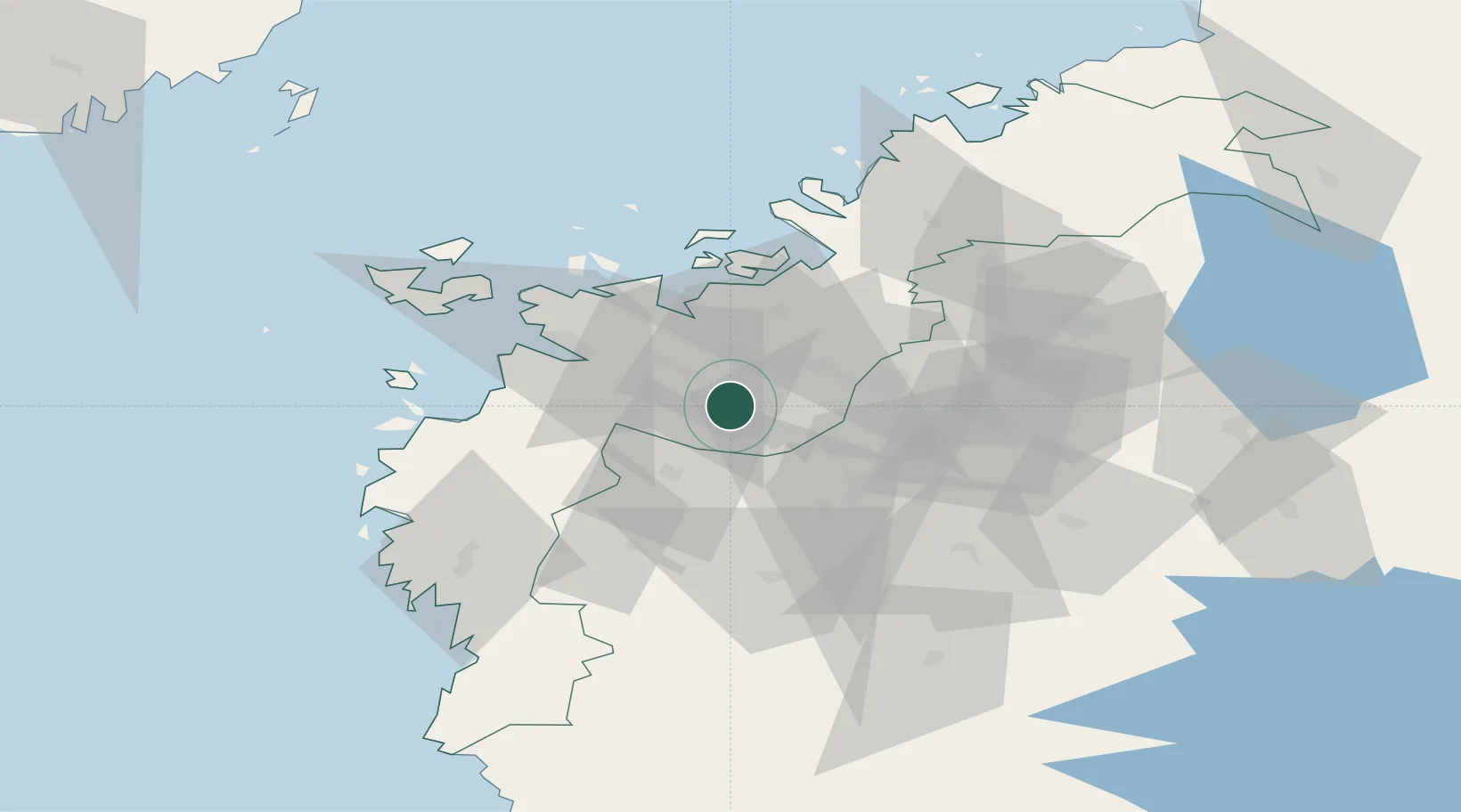
Nearby Logistics Neighbours

Cities
  1. 1Tervajoki11 km
  2. 2Maalahti (Malax)26 km
  3. 3Koskenkorva31 km
  4. 4Vaasa (Vasa)33 km
  5. 5Kronvik34 km
Nearest neighbours — logibook spatial index (haversine) over the source coordinates
Ports
  1. 1Vaasa34 km
  2. 2Hellnas43 km
  3. 3Kantlax58 km
  4. 4Kaskinen72 km
  5. 5Nykarleby72 km
Nearest neighbours — logibook spatial index (haversine) over the source coordinates
Airports
  1. 1Vaasa Airport23 km
  2. 2Seinäjoki Airport45 km
  3. 3Kauhajoki Airfield51 km
  4. 4Kauhava Airfield55 km
  5. 5Kokkola-Pietarsaari Airport106 km
Nearest neighbours — logibook spatial index (haversine) over the source coordinates
Trade Zones
  1. 1Turku Free Zone273 km
  2. 2Oulu Port Free Warehouse Area284 km
  3. 3Freeport of Hanko344 km
  4. 4Port of Hamina-Kotka372 km
  5. 5Free Zone of Lappeenranta377 km
Nearest neighbours — logibook spatial index (haversine) over the source coordinates
DatabookThe Record of Consolidated Knowledge
Finland beyond logistics?
Browse databook

All Sources

LocationsUN/LOCODE
UN/LOCODE — free
Portsthe NGA World Port Index
Public domain (US gov)
AirportsOurAirports
Public domain
Trade Zonesthe World Bank SEZ database
CC BY 4.0
Trade ZonesOpen Zone Map
CC BY
← Finland locations