Transport Functions
Port
Road
Hub Profile
Place type
Populated place
Region
Uusimaa
Time zone
Europe/Helsinki
Elevation
44 m
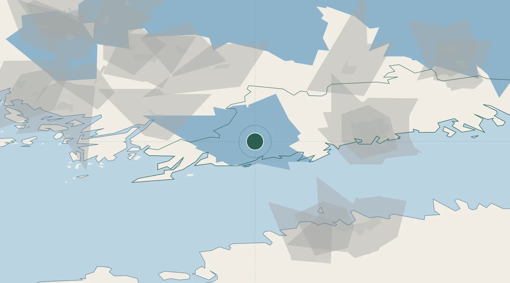
Location
Nearby Logistics Neighbours
Cities
- 1Siuntio14 km
- 2Degerby15 km
- 3Muijala18 km
- 4Fiskars22 km
- 5Baronsalmi23 km
Airports
- 1Helsinki Vantaa Airport58 km
- 2Tallinn Linnahall Heliport92 km
- 3Lennart Meri Tallinn Airport97 km
- 4Turku Airport101 km
- 5Ämari Air Base102 km
Trade Zones
- 1Freeport of Hanko70 km
- 2Paldiski Free Zone93 km
- 3Turku Free Zone101 km
- 4Muuga Free Zone114 km
- 5Port of Hamina-Kotka168 km
DatabookThe Record of Consolidated Knowledge
Finland beyond logistics?