Transport Functions
Port
Road
Hub Profile
Region
19
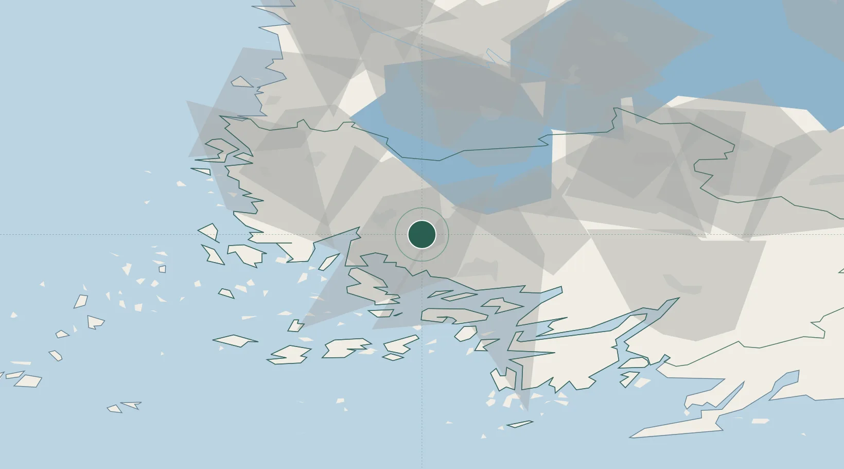
Location
Nearby Logistics Neighbours
Cities
- 1Kaskinen (Kaskö)11 km
- 2Naantali (Nådendal)17 km
- 3Åbo (Turku)19 km
- 4Vanhalinna21 km
- 5Vinkkilä22 km
Ports
- 1Naantali15 km
- 2Turku19 km
- 3Pargas35 km
- 4Uusikaupunki43 km
- 5Rauma68 km
Airports
- 1Turku Airport14 km
- 2Pori Airport97 km
- 3Tampere-Pirkkala Airport122 km
- 4Helsinki Vantaa Airport161 km
- 5Kärdla Airport184 km
Trade Zones
- 1Turku Free Zone19 km
- 2Freeport of Hanko96 km
- 3Paldiski Free Zone179 km
- 4Muuga Free Zone218 km
- 5Stockholm Free Zone261 km
DatabookThe Record of Consolidated Knowledge
Finland beyond logistics?