UN/LOCODE hub · Finland
FIKAS

Kaskinen (Kaskö)

60.6167°, 21.8833°
1
Transport functions

Transport Functions

Port
Kaskinen (Kaskö) is also a profiled seaport →
UN/LOCODE

Hub Profile

Region
19
GeoNames

Location

Location of FIKAS
Natural Earth 10m (public domain) · 19 · FIKAS · 60.62, 21.88GoogleOSMYandex

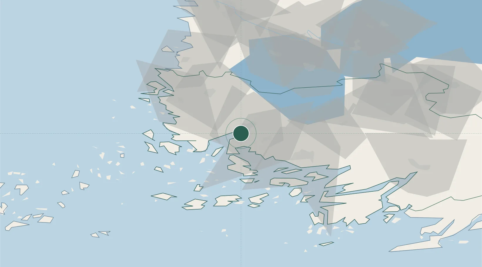
Nearby Logistics Neighbours

Cities
  1. 1Nousiainen (Nousis)11 km
  2. 2Vinkkilä12 km
  3. 3Rouhu15 km
  4. 4Taivassalo (Tövsala)16 km
  5. 5Naantali (Nådendal)20 km
Nearest neighbours — logibook spatial index (haversine) over the source coordinates
Ports
  1. 1Naantali18 km
  2. 2Turku27 km
  3. 3Uusikaupunki33 km
  4. 4Pargas38 km
  5. 5Rauma61 km
Nearest neighbours — logibook spatial index (haversine) over the source coordinates
Airports
  1. 1Turku Airport24 km
  2. 2Pori Airport94 km
  3. 3Mariehamn Airport122 km
  4. 4Tampere-Pirkkala Airport128 km
  5. 5Helsinki Vantaa Airport172 km
Nearest neighbours — logibook spatial index (haversine) over the source coordinates
Trade Zones
  1. 1Turku Free Zone26 km
  2. 2Freeport of Hanko104 km
  3. 3Paldiski Free Zone188 km
  4. 4Muuga Free Zone228 km
  5. 5Stockholm Free Zone253 km
Nearest neighbours — logibook spatial index (haversine) over the source coordinates
DatabookThe Record of Consolidated Knowledge
Finland beyond logistics?
Browse databook

All Sources

LocationsUN/LOCODE
UN/LOCODE — free
Portsthe NGA World Port Index
Public domain (US gov)
AirportsOurAirports
Public domain
Trade Zonesthe World Bank SEZ database
CC BY 4.0
Trade ZonesOpen Zone Map
CC BY
← Finland locations