Transport Functions
Rail
Road
Hub Profile
Place type
Populated place
Region
Pirkanmaa
Time zone
Europe/Helsinki
Elevation
66 m
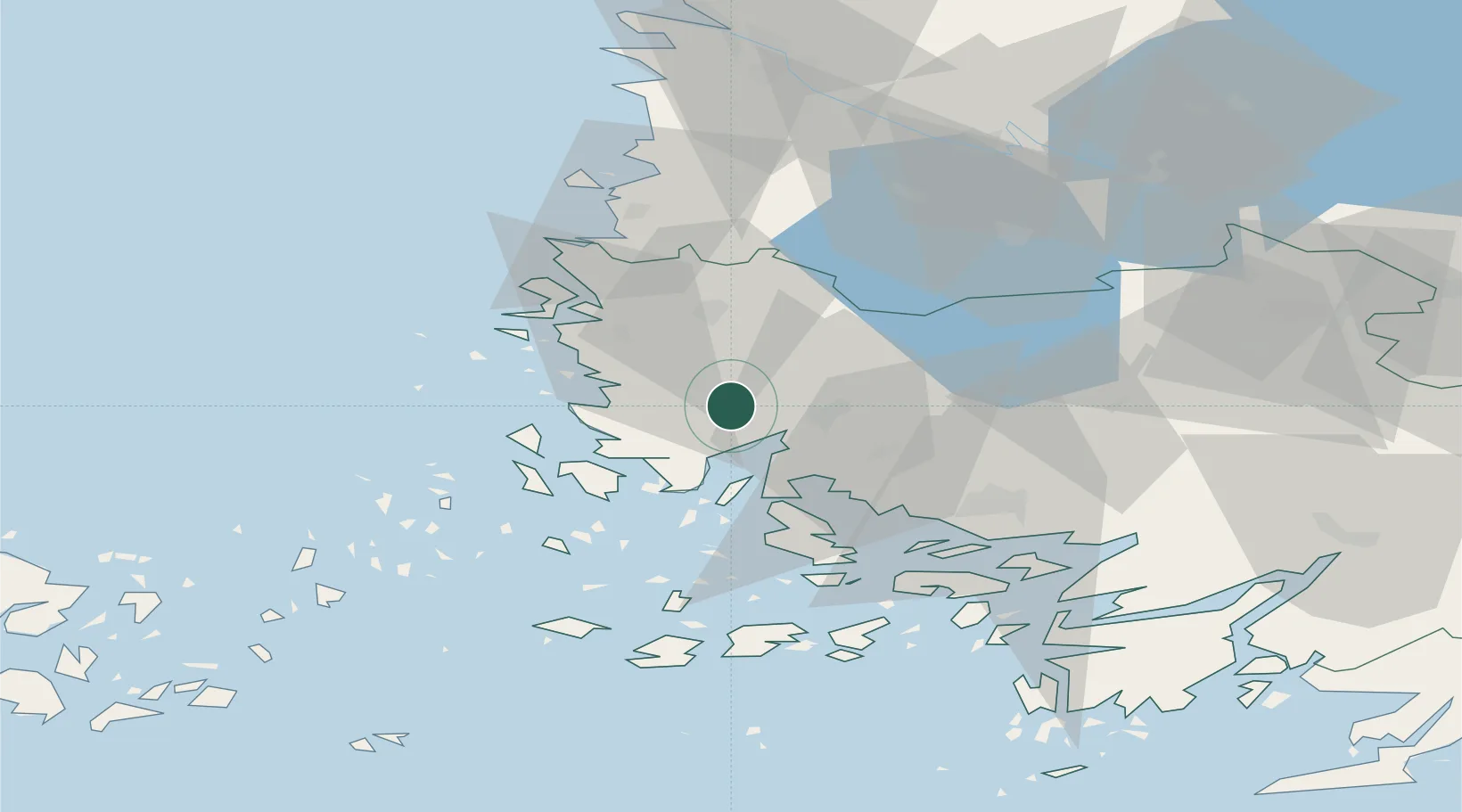
Location
Nearby Logistics Neighbours
Cities
- 1Kaskinen (Kaskö)12 km
- 2Taivassalo (Tövsala)14 km
- 3Rouhu17 km
- 4Kalanti17 km
- 5Nystad (Uusikaupunki)21 km
Ports
- 1Uusikaupunki22 km
- 2Naantali29 km
- 3Turku38 km
- 4Pargas48 km
- 5Rauma51 km
Airports
- 1Turku Airport35 km
- 2Pori Airport87 km
- 3Mariehamn Airport118 km
- 4Tampere-Pirkkala Airport130 km
- 5Helsinki Vantaa Airport182 km
Trade Zones
- 1Turku Free Zone38 km
- 2Freeport of Hanko115 km
- 3Paldiski Free Zone199 km
- 4Muuga Free Zone240 km
- 5Stockholm Free Zone249 km
DatabookThe Record of Consolidated Knowledge
Finland beyond logistics?