UN/LOCODE hub · Finland
FIVEL

Velkua

60.4667°, 21.6667°
217
Population
1
Transport functions

Transport Functions

Port
UN/LOCODE

Hub Profile

Place type
District seat
GeoNames
Region
Southwest Finland
GeoNames
Population
217
GeoNames
Time zone
Europe/Helsinki
GeoNames
Elevation
1 m
GeoNames

Location

Location of FIVEL
Natural Earth 10m (public domain) · Southwest Finland · FIVEL · 60.47, 21.67GoogleOSMYandex

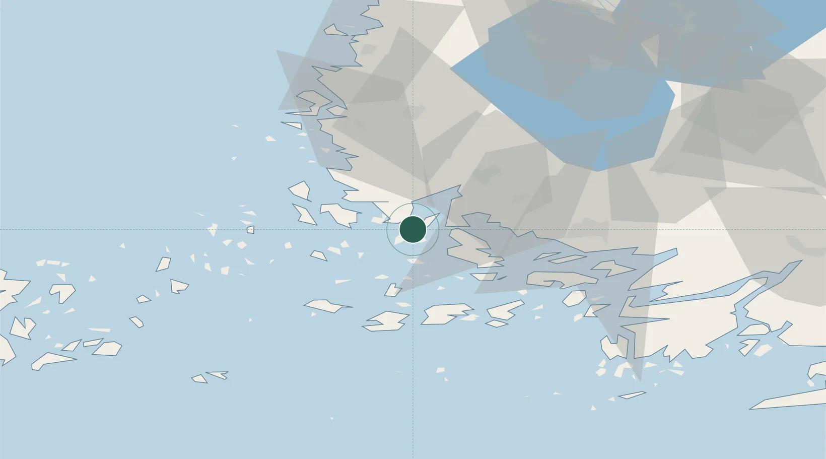
Nearby Logistics Neighbours

Cities
  1. 1Rouhu7 km
  2. 2Taivassalo (Tövsala)12 km
  3. 3Iniö16 km
  4. 4Rimito (Rymättylä)19 km
  5. 5Naantali (Nådendal)20 km
Nearest neighbours — logibook spatial index (haversine) over the source coordinates
Ports
  1. 1Naantali19 km
  2. 2Pargas30 km
  3. 3Turku31 km
  4. 4Uusikaupunki40 km
  5. 5Rauma74 km
Nearest neighbours — logibook spatial index (haversine) over the source coordinates
Airports
  1. 1Turku Airport33 km
  2. 2Mariehamn Airport105 km
  3. 3Pori Airport111 km
  4. 4Tampere-Pirkkala Airport149 km
  5. 5Kärdla Airport177 km
Nearest neighbours — logibook spatial index (haversine) over the source coordinates
Trade Zones
  1. 1Turku Free Zone30 km
  2. 2Freeport of Hanko98 km
  3. 3Paldiski Free Zone184 km
  4. 4Muuga Free Zone228 km
  5. 5Stockholm Free Zone234 km
Nearest neighbours — logibook spatial index (haversine) over the source coordinates
DatabookThe Record of Consolidated Knowledge
Finland beyond logistics?
Browse databook

All Sources

LocationsUN/LOCODE
UN/LOCODE — free
LocationsGeoNames
CC BY 4.0
Portsthe NGA World Port Index
Public domain (US gov)
AirportsOurAirports
Public domain
Trade Zonesthe World Bank SEZ database
CC BY 4.0
Trade ZonesOpen Zone Map
CC BY
← Finland locations