UN/LOCODE hub · Finland
FIKOR

Korpo (Korppoo)

60.1667°, 21.5667°
1
Transport functions

Transport Functions

Port
UN/LOCODE

Hub Profile

Region
19
GeoNames

Location

Location of FIKOR
Natural Earth 10m (public domain) · 19 · FIKOR · 60.17, 21.57GoogleOSMYandex

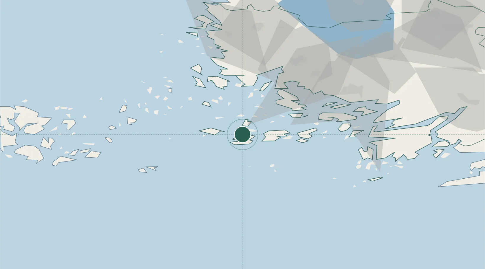
Nearby Logistics Neighbours

Cities
  1. 1Houtskär (Houtskari)12 km
  2. 2Nagu (Nauvo)19 km
  3. 3Iniö28 km
  4. 4Rimito (Rymättylä)31 km
  5. 5Velkua34 km
Nearest neighbours — logibook spatial index (haversine) over the source coordinates
Ports
  1. 1Pargas31 km
  2. 2Naantali42 km
  3. 3Uto44 km
  4. 4Turku48 km
  5. 5Uusikaupunki71 km
Nearest neighbours — logibook spatial index (haversine) over the source coordinates
Airports
  1. 1Turku Airport54 km
  2. 2Mariehamn Airport93 km
  3. 3Pori Airport145 km
  4. 4Kärdla Airport149 km
  5. 5Tampere-Pirkkala Airport177 km
Nearest neighbours — logibook spatial index (haversine) over the source coordinates
Trade Zones
  1. 1Turku Free Zone47 km
  2. 2Freeport of Hanko82 km
  3. 3Paldiski Free Zone168 km
  4. 4Stockholm Free Zone214 km
  5. 5Muuga Free Zone216 km
Nearest neighbours — logibook spatial index (haversine) over the source coordinates
DatabookThe Record of Consolidated Knowledge
Finland beyond logistics?
Browse databook

All Sources

LocationsUN/LOCODE
UN/LOCODE — free
Portsthe NGA World Port Index
Public domain (US gov)
AirportsOurAirports
Public domain
Trade Zonesthe World Bank SEZ database
CC BY 4.0
Trade ZonesOpen Zone Map
CC BY
← Finland locations