Transport Functions
Rail
Road
Hub Profile
Place type
Populated place
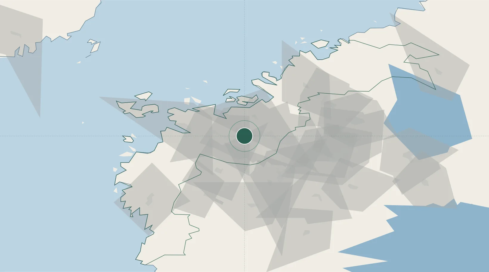
Region
South Ostrobothnia
Time zone
Europe/Helsinki
Elevation
21 m
Location
Nearby Logistics Neighbours
Cities
- 1Kylanpää11 km
- 2Tottesund26 km
- 3Vaasa (Vasa)29 km
- 4Maalahti (Malax)30 km
- 5Vasklot (Vaskiluoto)31 km
Ports
- 1Vaasa30 km
- 2Hellnas32 km
- 3Kantlax47 km
- 4Nykarleby61 km
- 5Pietarsaari81 km
Airports
- 1Vaasa Airport20 km
- 2Kauhava Airfield48 km
- 3Seinäjoki Airport49 km
- 4Kauhajoki Airfield61 km
- 5Kokkola-Pietarsaari Airport95 km
Trade Zones
- 1Oulu Port Free Warehouse Area274 km
- 2Turku Free Zone284 km
- 3Freeport of Hanko355 km
- 4Port of Hamina-Kotka378 km
- 5Free Zone of Lappeenranta380 km
DatabookThe Record of Consolidated Knowledge
Finland beyond logistics?