UN/LOCODE hub · Finland
FIMHU

Mäntyharju

61.4167°, 26.8833°
2
Transport functions

Transport Functions

Rail
Road
UN/LOCODE

Hub Profile

Region
04
GeoNames

Location

Location of FIMHU
Natural Earth 10m (public domain) · 04 · FIMHU · 61.42, 26.88GoogleOSMYandex

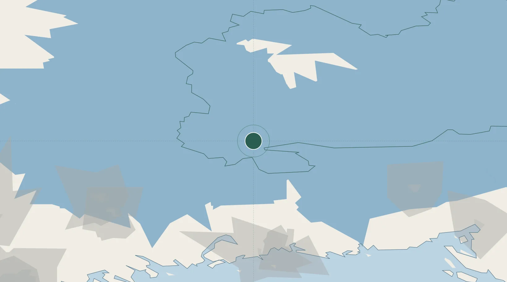
Nearby Logistics Neighbours

Cities
  1. 1Ristiina22 km
  2. 2Hirvensalmi25 km
  3. 3Otava28 km
  4. 4Mikkeli (Sankt Michel)36 km
  5. 5Kaipiainen59 km
Nearest neighbours — logibook spatial index (haversine) over the source coordinates
Ports
  1. 1Hamina96 km
  2. 2Kotka106 km
  3. 3Loviisa113 km
  4. 4Gavan Vysotsk127 km
  5. 5Vyborg127 km
Nearest neighbours — logibook spatial index (haversine) over the source coordinates
Airports
  1. 1Mikkeli Airport34 km
  2. 2Utti Air Base58 km
  3. 3Lappeenranta Airport79 km
  4. 4Varkaus Airport99 km
  5. 5Helsinki East-Redstone Aerodrome105 km
Nearest neighbours — logibook spatial index (haversine) over the source coordinates
Trade Zones
  1. 1Free Zone of Lappeenranta78 km
  2. 2Port of Hamina-Kotka105 km
  3. 3Port of Sillamäe227 km
  4. 4St Petersburg Technology Innovative Special Economic Zone244 km
  5. 5Muuga Free Zone257 km
Nearest neighbours — logibook spatial index (haversine) over the source coordinates
DatabookThe Record of Consolidated Knowledge
Finland beyond logistics?
Browse databook

All Sources

LocationsUN/LOCODE
UN/LOCODE — free
Portsthe NGA World Port Index
Public domain (US gov)
AirportsOurAirports
Public domain
Trade Zonesthe World Bank SEZ database
CC BY 4.0
Trade ZonesOpen Zone Map
CC BY
← Finland locations