Transport Functions
Multimodal
Hub Profile
Place type
Populated place
Region
South Savo
Time zone
Europe/Helsinki
Elevation
103 m
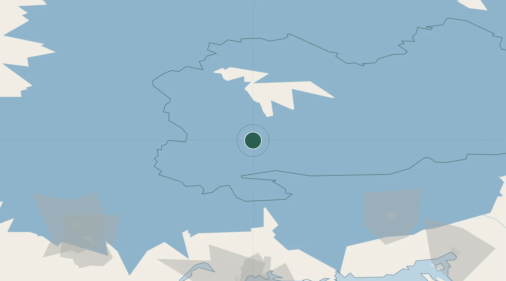
Location
Nearby Logistics Neighbours
Cities
- 1Mikkeli (Sankt Michel)11 km
- 2Hirvensalmi14 km
- 3Ristiina20 km
- 4Mäntyharju28 km
- 5Haukivuori42 km
Ports
- 1Hamina121 km
- 2Kotka132 km
- 3Vyborg138 km
- 4Gavan Vysotsk140 km
- 5Loviisa141 km
Airports
- 1Mikkeli Airport8 km
- 2Varkaus Airport72 km
- 3Utti Air Base84 km
- 4Lappeenranta Airport89 km
- 5Savonlinna Airport104 km
Trade Zones
- 1Free Zone of Lappeenranta88 km
- 2Port of Hamina-Kotka132 km
- 3Port of Sillamäe250 km
- 4St Petersburg Technology Innovative Special Economic Zone256 km
- 5Muuga Free Zone285 km
DatabookThe Record of Consolidated Knowledge
Finland beyond logistics?