Transport Functions
Port
Hub Profile
Place type
Populated place
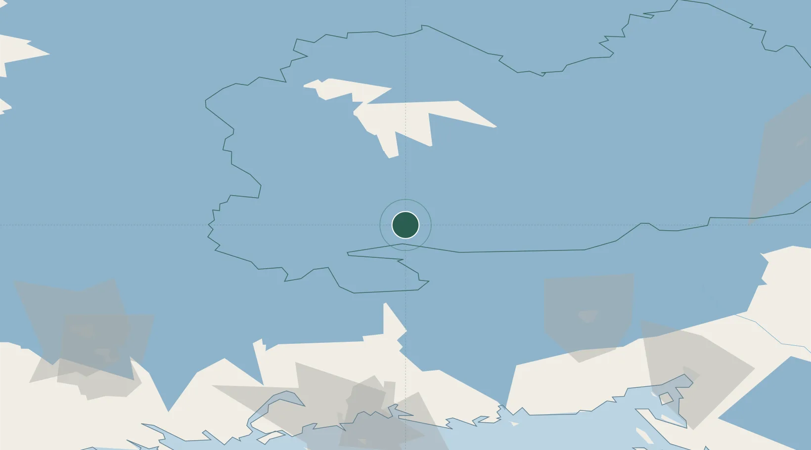
Region
South Savo
Population
5,171
Time zone
Europe/Helsinki
Elevation
68 m
Location
Nearby Logistics Neighbours
Cities
- 1Otava20 km
- 2Mikkeli (Sankt Michel)20 km
- 3Mäntyharju22 km
- 4Hirvensalmi29 km
- 5Haukivuori58 km
Ports
- 1Hamina104 km
- 2Kotka116 km
- 3Vyborg118 km
- 4Gavan Vysotsk121 km
- 5Loviisa129 km
Airports
- 1Mikkeli Airport21 km
- 2Lappeenranta Airport69 km
- 3Utti Air Base69 km
- 4Varkaus Airport81 km
- 5Savonlinna Airport101 km
Trade Zones
- 1Free Zone of Lappeenranta68 km
- 2Port of Hamina-Kotka116 km
- 3Port of Sillamäe233 km
- 4St Petersburg Technology Innovative Special Economic Zone237 km
- 5Muuga Free Zone275 km
DatabookThe Record of Consolidated Knowledge
Finland beyond logistics?