Transport Functions
Port
Rail
Road
Airport
Hub Profile
Region
04
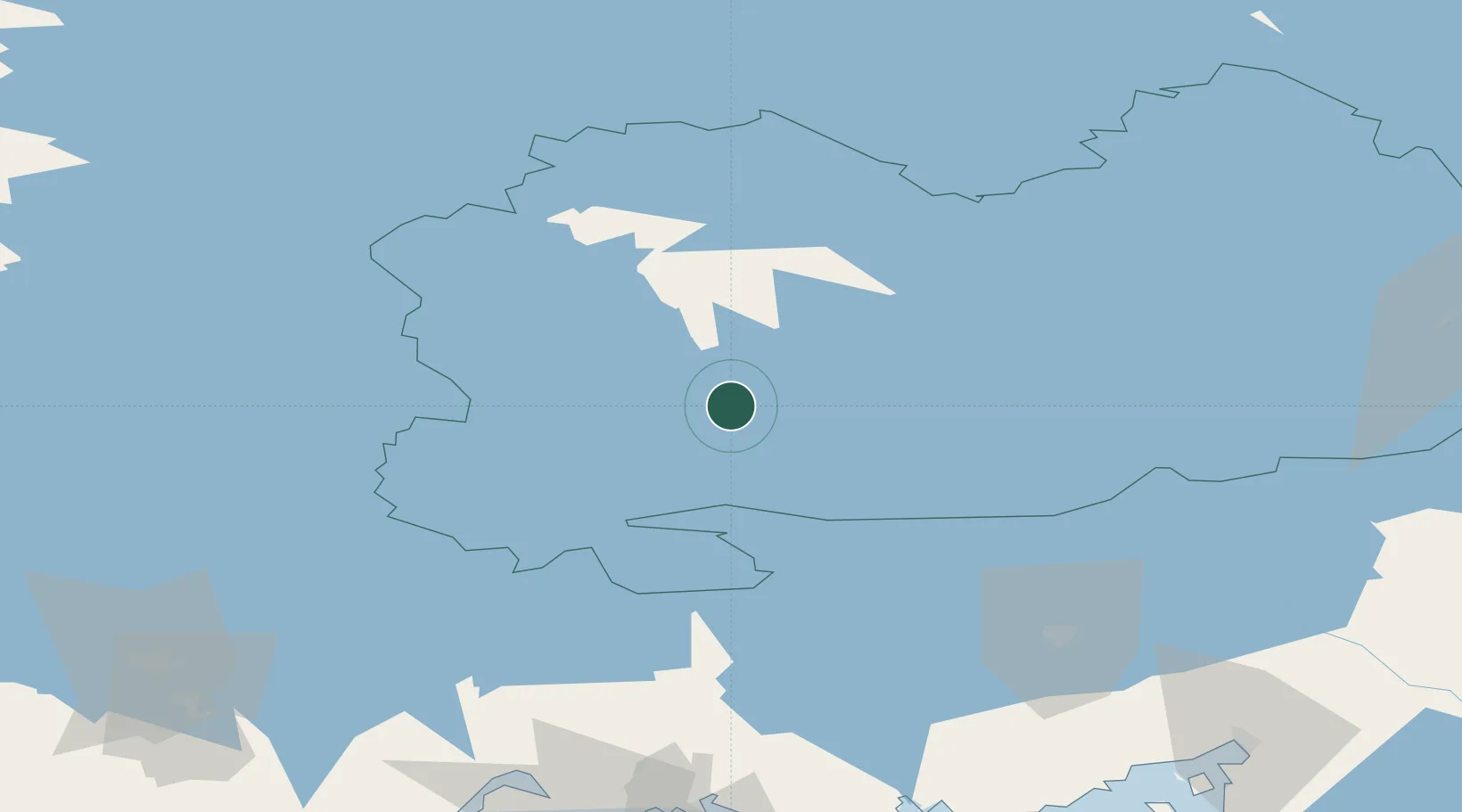
Location
Nearby Logistics Neighbours
Cities
- 1Otava11 km
- 2Ristiina20 km
- 3Hirvensalmi25 km
- 4Mäntyharju36 km
- 5Haukivuori37 km
Ports
- 1Hamina124 km
- 2Vyborg134 km
- 3Kotka136 km
- 4Gavan Vysotsk138 km
- 5Loviisa148 km
Airports
- 1Mikkeli Airport3 km
- 2Varkaus Airport63 km
- 3Lappeenranta Airport85 km
- 4Utti Air Base89 km
- 5Savonlinna Airport93 km
Trade Zones
- 1Free Zone of Lappeenranta84 km
- 2Port of Hamina-Kotka136 km
- 3St Petersburg Technology Innovative Special Economic Zone253 km
- 4Port of Sillamäe253 km
- 5Muuga Free Zone293 km
DatabookThe Record of Consolidated Knowledge
Finland beyond logistics?