Transport Functions
Port
Road
Hub Profile
Place type
District seat
Region
South Savo
Population
2,046
Time zone
Europe/Helsinki
Elevation
94 m
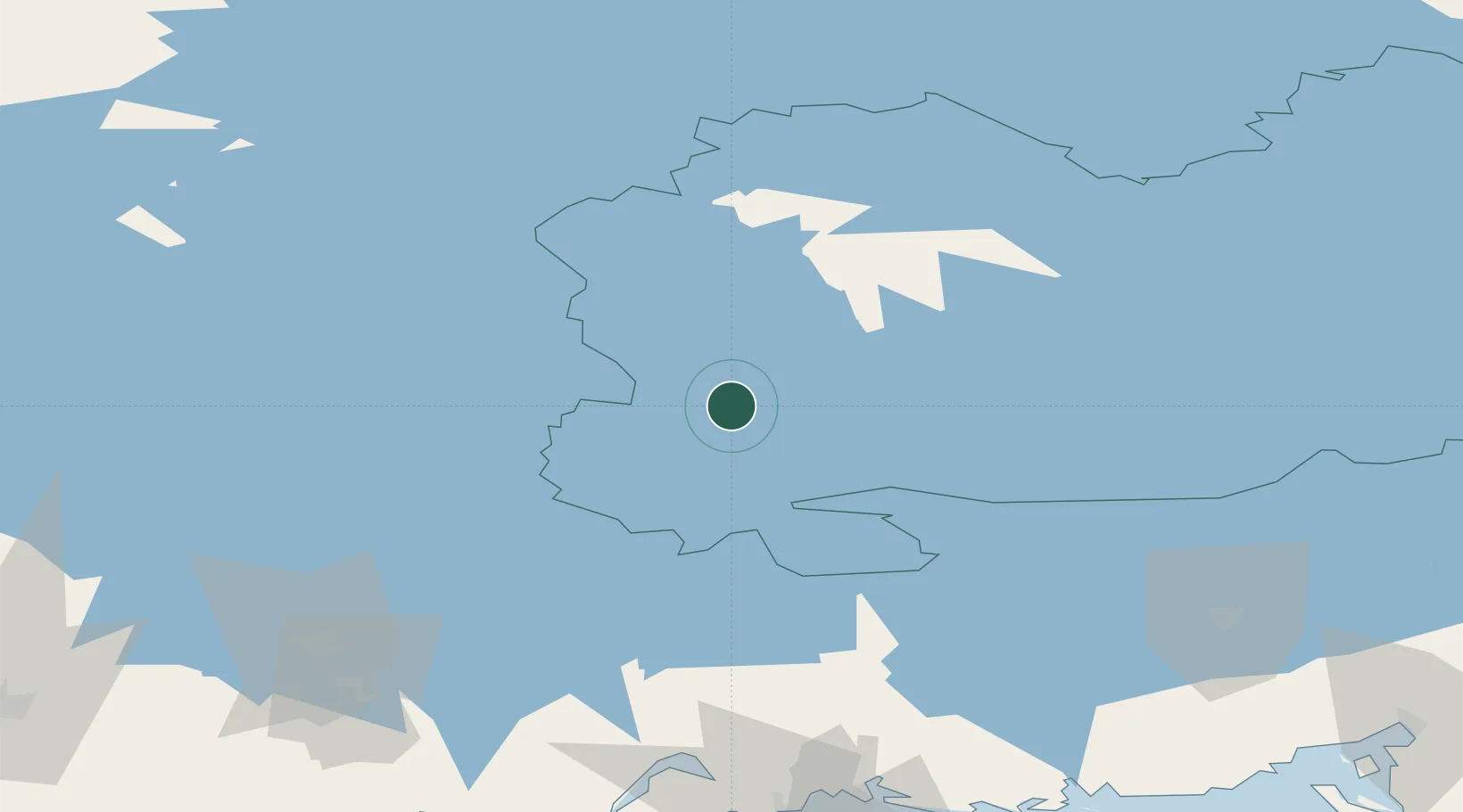
Location
Nearby Logistics Neighbours
Cities
- 1Otava14 km
- 2Mäntyharju25 km
- 3Mikkeli (Sankt Michel)25 km
- 4Ristiina29 km
- 5Haukivuori48 km
Ports
- 1Hamina121 km
- 2Kotka130 km
- 3Loviisa135 km
- 4Vyborg146 km
- 5Gavan Vysotsk148 km
Airports
- 1Mikkeli Airport22 km
- 2Varkaus Airport82 km
- 3Utti Air Base82 km
- 4Lappeenranta Airport97 km
- 5Jyväskylä Airport103 km
Trade Zones
- 1Free Zone of Lappeenranta96 km
- 2Port of Hamina-Kotka130 km
- 3Port of Sillamäe251 km
- 4St Petersburg Technology Innovative Special Economic Zone264 km
- 5Muuga Free Zone278 km
DatabookThe Record of Consolidated Knowledge
Finland beyond logistics?