UN/LOCODE hub · Finland
FIOLK

Olkiluoto

61.2333°, 21.4833°
1
Transport functions

Transport Functions

Port
UN/LOCODE

Hub Profile

Region
17
GeoNames

Location

Location of FIOLK
Natural Earth 10m (public domain) · 17 · FIOLK · 61.23, 21.48GoogleOSMYandex

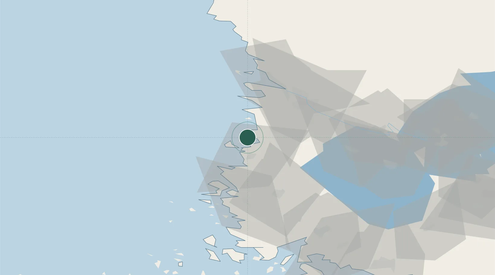
Nearby Logistics Neighbours

Cities
  1. 1Rauma (Raumo)12 km
  2. 2Euraåminne (Eurajoki)14 km
  3. 3Luvia15 km
  4. 4Ulvila31 km
  5. 5Björneborg (Pori)33 km
Nearest neighbours — logibook spatial index (haversine) over the source coordinates
Ports
  1. 1Rauma12 km
  2. 2Pori33 km
  3. 3Mantyluoto41 km
  4. 4Tahkoluoto45 km
  5. 5Uusikaupunki48 km
Nearest neighbours — logibook spatial index (haversine) over the source coordinates
Airports
  1. 1Pori Airport31 km
  2. 2Turku Airport90 km
  3. 3Tampere-Pirkkala Airport115 km
  4. 4Kauhajoki Airfield145 km
  5. 5Mariehamn Airport151 km
Nearest neighbours — logibook spatial index (haversine) over the source coordinates
Trade Zones
  1. 1Turku Free Zone96 km
  2. 2Freeport of Hanko174 km
  3. 3Paldiski Free Zone255 km
  4. 4Stockholm Free Zone280 km
  5. 5Muuga Free Zone290 km
Nearest neighbours — logibook spatial index (haversine) over the source coordinates
DatabookThe Record of Consolidated Knowledge
Finland beyond logistics?
Browse databook

All Sources

LocationsUN/LOCODE
UN/LOCODE — free
Portsthe NGA World Port Index
Public domain (US gov)
AirportsOurAirports
Public domain
Trade Zonesthe World Bank SEZ database
CC BY 4.0
Trade ZonesOpen Zone Map
CC BY
← Finland locations