UN/LOCODE hub · Finland
FIRAU
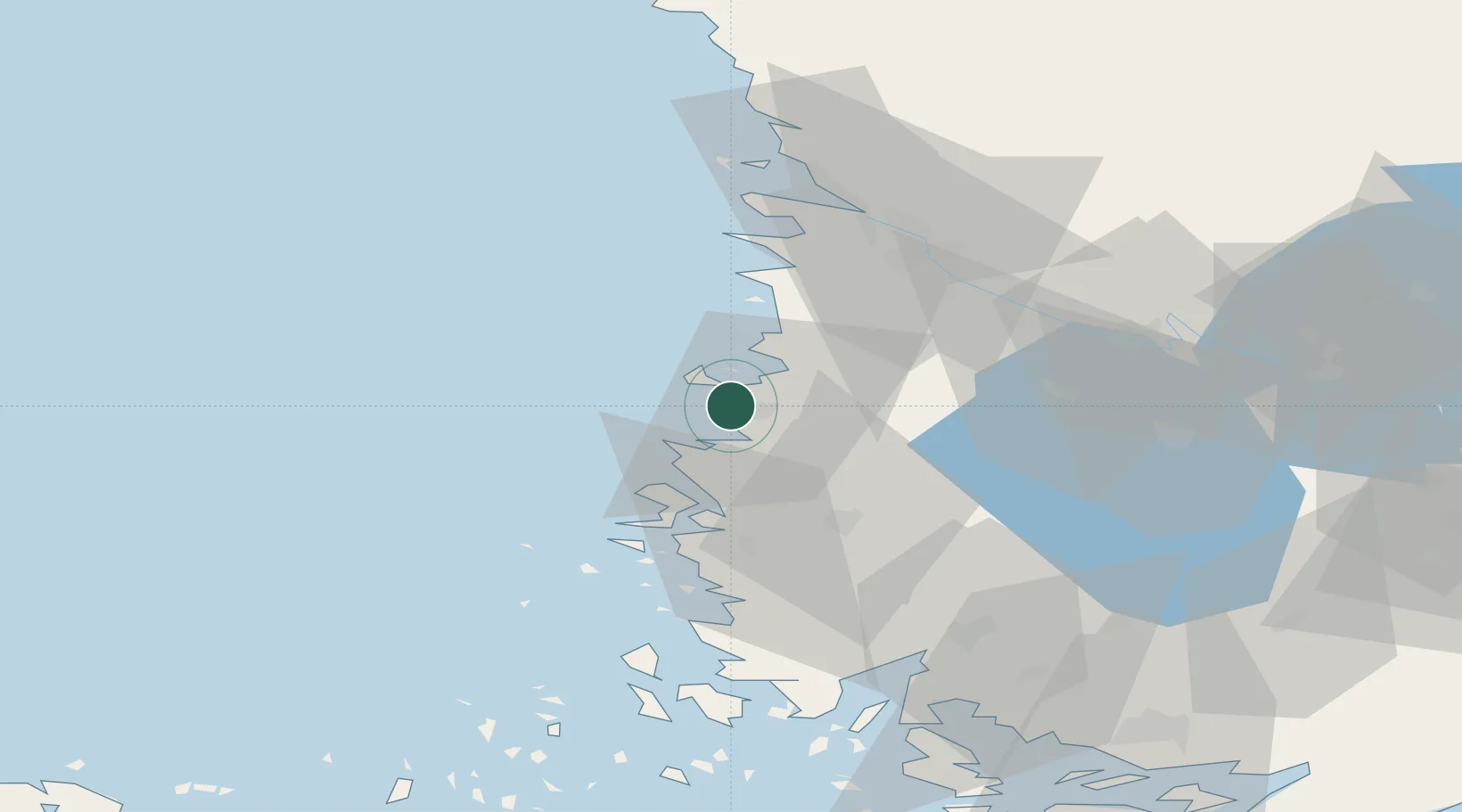
Rauma (Raumo)
61.1301°, 21.4399°
4
Transport functions
1
Container terminals
Transport Functions
Port
Rail
Road
Border Crossing
Hub Profile
Region
17
Logistics facilities
2
Container terminals
1
Location
Nearby Logistics Neighbours
Cities
- 1Olkiluoto12 km
- 2Euraåminne (Eurajoki)18 km
- 3Luvia26 km
- 4Kalanti36 km
- 5Nystad (Uusikaupunki)37 km
Ports
- 1Uusikaupunki37 km
- 2Pori44 km
- 3Mantyluoto52 km
- 4Tahkoluoto56 km
- 5Naantali80 km
Airports
- 1Pori Airport42 km
- 2Turku Airport82 km
- 3Tampere-Pirkkala Airport120 km
- 4Mariehamn Airport140 km
- 5Kauhajoki Airfield156 km
Trade Zones
- 1Turku Free Zone87 km
- 2Freeport of Hanko165 km
- 3Paldiski Free Zone247 km
- 4Stockholm Free Zone270 km
- 5Muuga Free Zone284 km
DatabookThe Record of Consolidated Knowledge
Finland beyond logistics?