UN/LOCODE hub · Finland
FITAA

Taavetti

60.9167°, 27.5667°
3
Transport functions

Transport Functions

Rail
Road
Airport
UN/LOCODE

Hub Profile

Place type
District seat
GeoNames
Region
South Karelia
GeoNames
Time zone
Europe/Helsinki
GeoNames
Elevation
89 m
GeoNames

Location

Location of FITAA
Natural Earth 10m (public domain) · South Karelia · FITAA · 60.92, 27.57GoogleOSMYandex

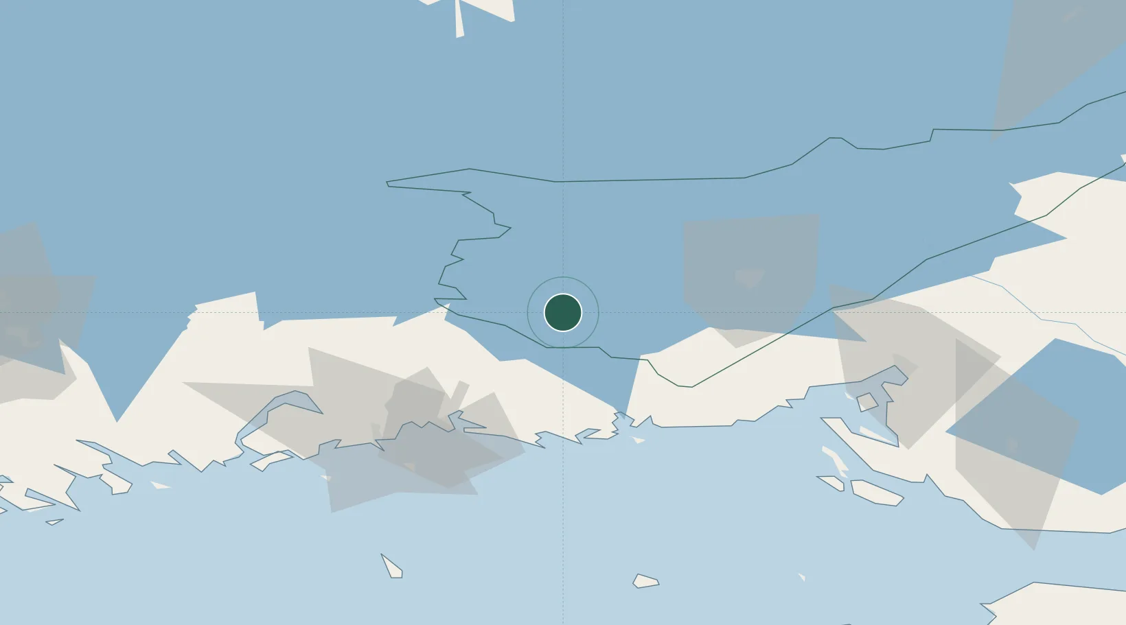
Nearby Logistics Neighbours

Cities
  1. 1Luumäki5 km
  2. 2Kaipiainen24 km
  3. 3Lappeenranta (Villmanstrand)36 km
  4. 4Mustola43 km
  5. 5Fredrikshamn (Hamina)44 km
Nearest neighbours — logibook spatial index (haversine) over the source coordinates
Ports
  1. 1Hamina44 km
  2. 2Kotka60 km
  3. 3Gavan Vysotsk64 km
  4. 4Vyborg68 km
  5. 5Primorsk84 km
Nearest neighbours — logibook spatial index (haversine) over the source coordinates
Airports
  1. 1Utti Air Base34 km
  2. 2Lappeenranta Airport34 km
  3. 3Helsinki East-Redstone Aerodrome72 km
  4. 4Pribylovo Naval Air Base82 km
  5. 5Mikkeli Airport88 km
Nearest neighbours — logibook spatial index (haversine) over the source coordinates
Trade Zones
  1. 1Free Zone of Lappeenranta32 km
  2. 2Port of Hamina-Kotka60 km
  3. 3Port of Sillamäe167 km
  4. 4St Petersburg Technology Innovative Special Economic Zone179 km
  5. 5Muuga Free Zone229 km
Nearest neighbours — logibook spatial index (haversine) over the source coordinates
DatabookThe Record of Consolidated Knowledge
Finland beyond logistics?
Browse databook

All Sources

LocationsUN/LOCODE
UN/LOCODE — free
Portsthe NGA World Port Index
Public domain (US gov)
AirportsOurAirports
Public domain
Trade Zonesthe World Bank SEZ database
CC BY 4.0
Trade ZonesOpen Zone Map
CC BY
← Finland locations