UN/LOCODE hub · Finland
FIKKR

Kökar

59.9333°, 20.8833°
1
Transport functions

Transport Functions

Port
UN/LOCODE

Hub Profile

Region
01
GeoNames

Location

Location of FIKKR
Natural Earth 10m (public domain) · 01 · FIKKR · 59.93, 20.88GoogleOSMYandex

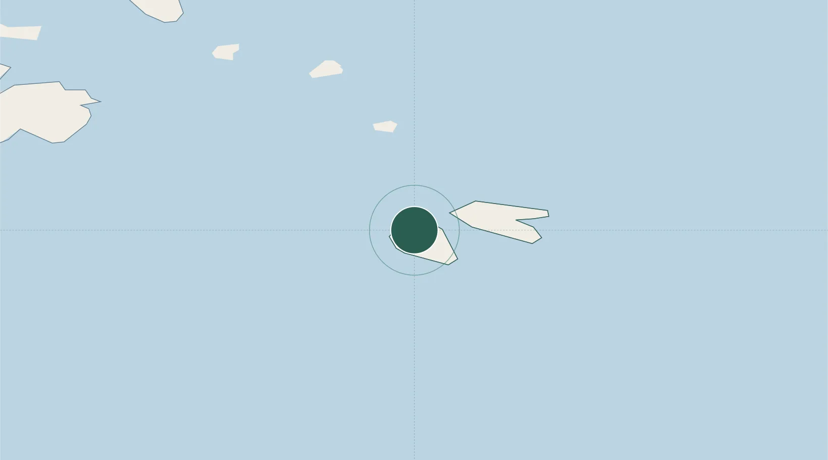
Nearby Logistics Neighbours

Cities
  1. 1Föglö28 km
  2. 2Kumlinge38 km
  3. 3Houtskär (Houtskari)42 km
  4. 4Korpo (Korppoo)46 km
  5. 5Harvaluoto53 km
Nearest neighbours — logibook spatial index (haversine) over the source coordinates
Ports
  1. 1Uto32 km
  2. 2Mariehamn57 km
  3. 3Pargas76 km
  4. 4Naantali86 km
  5. 5Turku94 km
Nearest neighbours — logibook spatial index (haversine) over the source coordinates
Airports
  1. 1Mariehamn Airport59 km
  2. 2Turku Airport100 km
  3. 3Kärdla Airport152 km
  4. 4Stockholm-Arlanda Airport168 km
  5. 5Pori Airport177 km
Nearest neighbours — logibook spatial index (haversine) over the source coordinates
Trade Zones
  1. 1Turku Free Zone93 km
  2. 2Freeport of Hanko112 km
  3. 3Stockholm Free Zone169 km
  4. 4Paldiski Free Zone191 km
  5. 5Muuga Free Zone243 km
Nearest neighbours — logibook spatial index (haversine) over the source coordinates
DatabookThe Record of Consolidated Knowledge
Finland beyond logistics?
Browse databook

All Sources

LocationsUN/LOCODE
UN/LOCODE — free
Portsthe NGA World Port Index
Public domain (US gov)
AirportsOurAirports
Public domain
Trade Zonesthe World Bank SEZ database
CC BY 4.0
Trade ZonesOpen Zone Map
CC BY
← Finland locations