UN/LOCODE hub · Finland
FIFOG

Föglö

60.0167°, 20.4167°
1
Transport functions

Transport Functions

Port
UN/LOCODE

Hub Profile

Region
01
GeoNames

Location

Location of FIFOG
Natural Earth 10m (public domain) · 01 · FIFOG · 60.02, 20.42GoogleOSMYandex

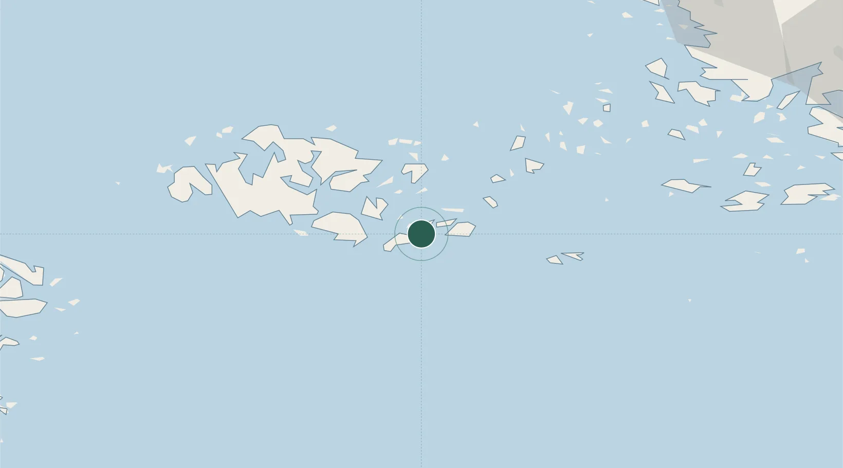
Nearby Logistics Neighbours

Cities
  1. 1Maarianhamina (Mariehamn)28 km
  2. 2Maarianhamina (Mariehamn)28 km
  3. 3Kökar28 km
  4. 4Färjsundet33 km
  5. 5Kumlinge34 km
Nearest neighbours — logibook spatial index (haversine) over the source coordinates
Ports
  1. 1Mariehamn29 km
  2. 2Uto59 km
  3. 3Grisslehamn89 km
  4. 4Pargas96 km
  5. 5Naantali102 km
Nearest neighbours — logibook spatial index (haversine) over the source coordinates
Airports
  1. 1Mariehamn Airport31 km
  2. 2Turku Airport116 km
  3. 3Stockholm-Arlanda Airport145 km
  4. 4Stockholm-Bromma Airport157 km
  5. 5Pori Airport177 km
Nearest neighbours — logibook spatial index (haversine) over the source coordinates
Trade Zones
  1. 1Turku Free Zone110 km
  2. 2Freeport of Hanko139 km
  3. 3Stockholm Free Zone149 km
  4. 4Paldiski Free Zone219 km
  5. 5Muuga Free Zone270 km
Nearest neighbours — logibook spatial index (haversine) over the source coordinates
DatabookThe Record of Consolidated Knowledge
Finland beyond logistics?
Browse databook

All Sources

LocationsUN/LOCODE
UN/LOCODE — free
Portsthe NGA World Port Index
Public domain (US gov)
AirportsOurAirports
Public domain
Trade Zonesthe World Bank SEZ database
CC BY 4.0
Trade ZonesOpen Zone Map
CC BY
← Finland locations