UN/LOCODE hub · Finland
FIKUM

Kumlinge

60.2667°, 20.7833°
1
Transport functions

Transport Functions

Port
UN/LOCODE

Hub Profile

Region
01
GeoNames

Location

Location of FIKUM
Natural Earth 10m (public domain) · 01 · FIKUM · 60.27, 20.78GoogleOSMYandex

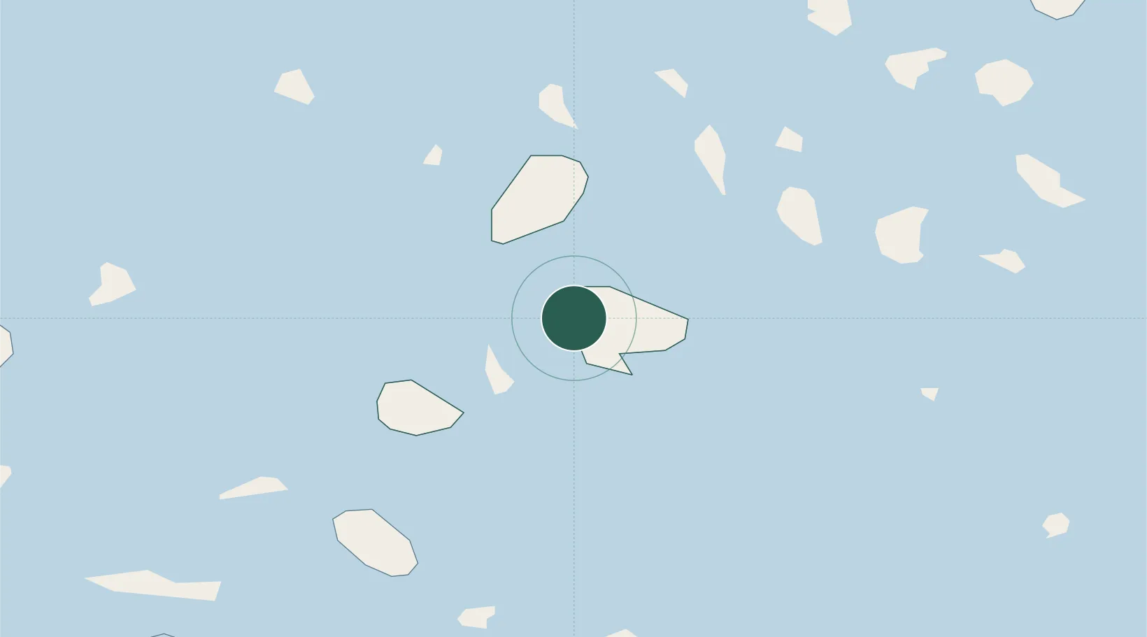
Nearby Logistics Neighbours

Cities
  1. 1Harvaluoto21 km
  2. 2Brändö22 km
  3. 3Houtskär (Houtskari)34 km
  4. 4Föglö34 km
  5. 5Iniö37 km
Nearest neighbours — logibook spatial index (haversine) over the source coordinates
Ports
  1. 1Mariehamn51 km
  2. 2Uto63 km
  3. 3Uusikaupunki68 km
  4. 4Pargas71 km
  5. 5Naantali71 km
Nearest neighbours — logibook spatial index (haversine) over the source coordinates
Airports
  1. 1Mariehamn Airport52 km
  2. 2Turku Airport86 km
  3. 3Pori Airport144 km
  4. 4Stockholm-Arlanda Airport173 km
  5. 5Kärdla Airport183 km
Nearest neighbours — logibook spatial index (haversine) over the source coordinates
Trade Zones
  1. 1Turku Free Zone81 km
  2. 2Freeport of Hanko126 km
  3. 3Stockholm Free Zone181 km
  4. 4Paldiski Free Zone211 km
  5. 5Muuga Free Zone260 km
Nearest neighbours — logibook spatial index (haversine) over the source coordinates
DatabookThe Record of Consolidated Knowledge
Finland beyond logistics?
Browse databook

All Sources

LocationsUN/LOCODE
UN/LOCODE — free
Portsthe NGA World Port Index
Public domain (US gov)
AirportsOurAirports
Public domain
Trade Zonesthe World Bank SEZ database
CC BY 4.0
Trade ZonesOpen Zone Map
CC BY
← Finland locations