Channel & Berth Profile
Pilotage, Tugs & Services
Pilotage compulsoryYES
Pilotage availableYES
Pilotage advisableYES
Tug assistanceYES
Shore powerYES
Potable waterYES
MedicalYES
Garbage disposalYES
Facilities & Capabilities
ContainerNO
Ro-RoYES
Liquid bulkYES
Dry bulkYES
Oil terminalNO
Break bulkYES
Dry dock—
RepairsNO
BunkeringYES
Rail link—
Dangerous cargo—
ISPS security—
Harbour Specifications
Harbour size
Small
Harbour type
Coastal (Natural)
Shelter
Good
Water body
Baltic Sea; North Atlantic Ocean
Overhead limit
Yes
Pilotage
Yes
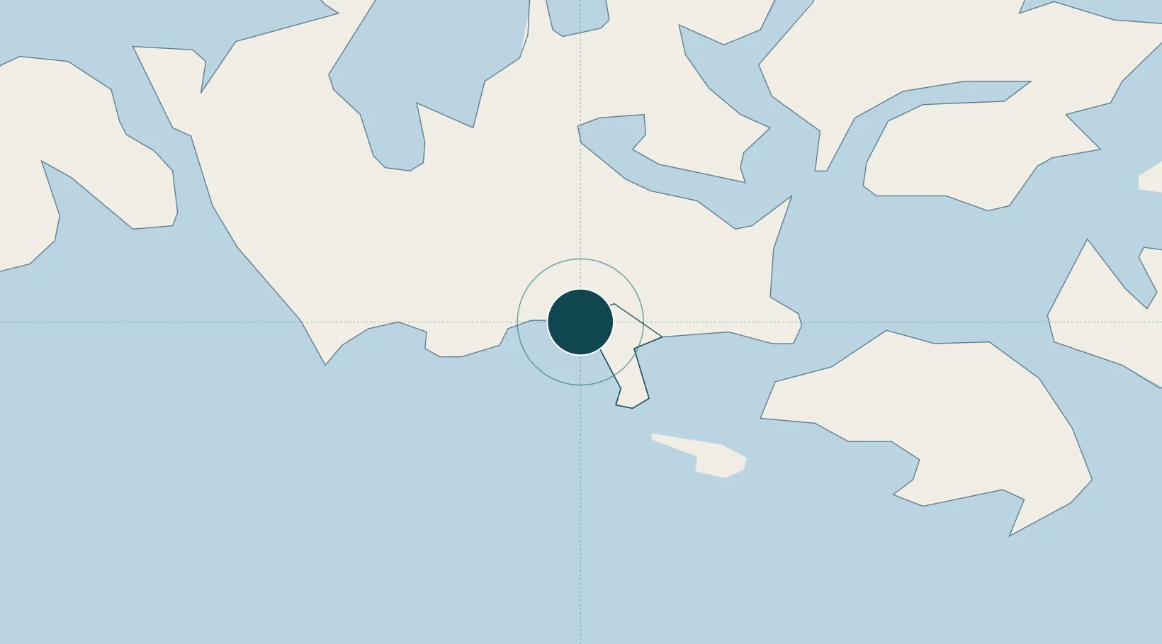
Location
Nearby Logistics Neighbours
Ports
- 1Grisslehamn61 km
- 2Hallstavik74 km
- 3Hargshamn82 km
- 4Uto88 km
- 5Uusikaupunki113 km
Cities
- 1Maarianhamina (Mariehamn)2 km
- 2Gottby (Godby)6 km
- 3Färjsundet16 km
- 4Marsund16 km
- 5Eckerö21 km
Airports
- 1Mariehamn Airport3 km
- 2Stockholm-Arlanda Airport122 km
- 3Stockholm-Bromma Airport138 km
- 4Gävle Sandviken Airport172 km
- 5Pori Airport183 km
Trade Zones
- 1Stockholm Free Zone131 km
- 2Turku Free Zone132 km
- 3Freeport of Hanko168 km
- 4Paldiski Free Zone248 km
- 5Muuga Free Zone299 km
DatabookThe Record of Consolidated Knowledge
Finland beyond logistics?