UN/LOCODE hub · Finland
FIHAR

Harvaluoto

60.3667°, 20.4667°
1
Transport functions

Transport Functions

Port
UN/LOCODE

Hub Profile

Region
01
GeoNames

Location

Location of FIHAR
Natural Earth 10m (public domain) · 01 · FIHAR · 60.37, 20.47GoogleOSMYandex

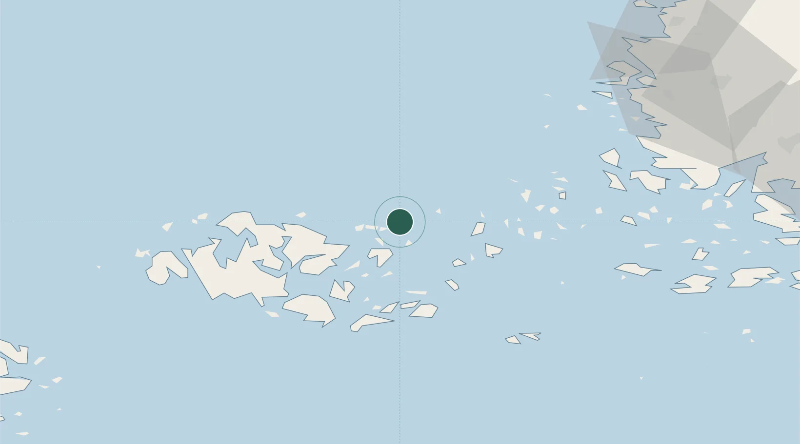
Nearby Logistics Neighbours

Cities
  1. 1Kumlinge21 km
  2. 2Färjsundet29 km
  3. 3Brändö33 km
  4. 4Föglö39 km
  5. 5Maarianhamina (Mariehamn)41 km
Nearest neighbours — logibook spatial index (haversine) over the source coordinates
Ports
  1. 1Mariehamn42 km
  2. 2Uusikaupunki70 km
  3. 3Uto82 km
  4. 4Naantali86 km
  5. 5Pargas89 km
Nearest neighbours — logibook spatial index (haversine) over the source coordinates
Airports
  1. 1Mariehamn Airport42 km
  2. 2Turku Airport100 km
  3. 3Pori Airport142 km
  4. 4Stockholm-Arlanda Airport162 km
  5. 5Stockholm-Bromma Airport180 km
Nearest neighbours — logibook spatial index (haversine) over the source coordinates
Trade Zones
  1. 1Turku Free Zone96 km
  2. 2Freeport of Hanko147 km
  3. 3Stockholm Free Zone174 km
  4. 4Paldiski Free Zone232 km
  5. 5Muuga Free Zone280 km
Nearest neighbours — logibook spatial index (haversine) over the source coordinates
DatabookThe Record of Consolidated Knowledge
Finland beyond logistics?
Browse databook

All Sources

LocationsUN/LOCODE
UN/LOCODE — free
Portsthe NGA World Port Index
Public domain (US gov)
AirportsOurAirports
Public domain
Trade Zonesthe World Bank SEZ database
CC BY 4.0
Trade ZonesOpen Zone Map
CC BY
← Finland locations