Transport Functions
Port
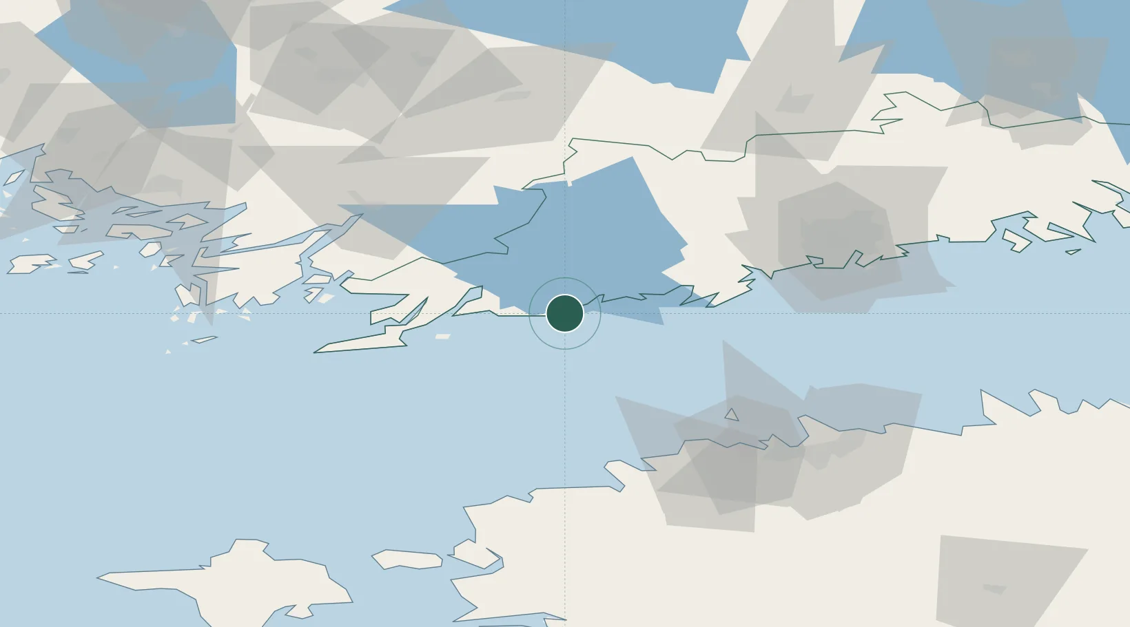
Location
Nearby Logistics Neighbours
Cities
- 1Snappertuna13 km
- 2Kirkniemi23 km
- 3Degerby23 km
- 4Jussaro24 km
- 5Ekenäs (Tammisaari)24 km
Airports
- 1Helsinki Vantaa Airport72 km
- 2Tallinn Linnahall Heliport76 km
- 3Ämari Air Base81 km
- 4Lennart Meri Tallinn Airport82 km
- 5Turku Airport107 km
Trade Zones
- 1Freeport of Hanko57 km
- 2Paldiski Free Zone71 km
- 3Muuga Free Zone99 km
- 4Turku Free Zone106 km
- 5Port of Hamina-Kotka179 km
DatabookThe Record of Consolidated Knowledge
Finland beyond logistics?