Transport Functions
Rail
Road
Hub Profile
Region
03
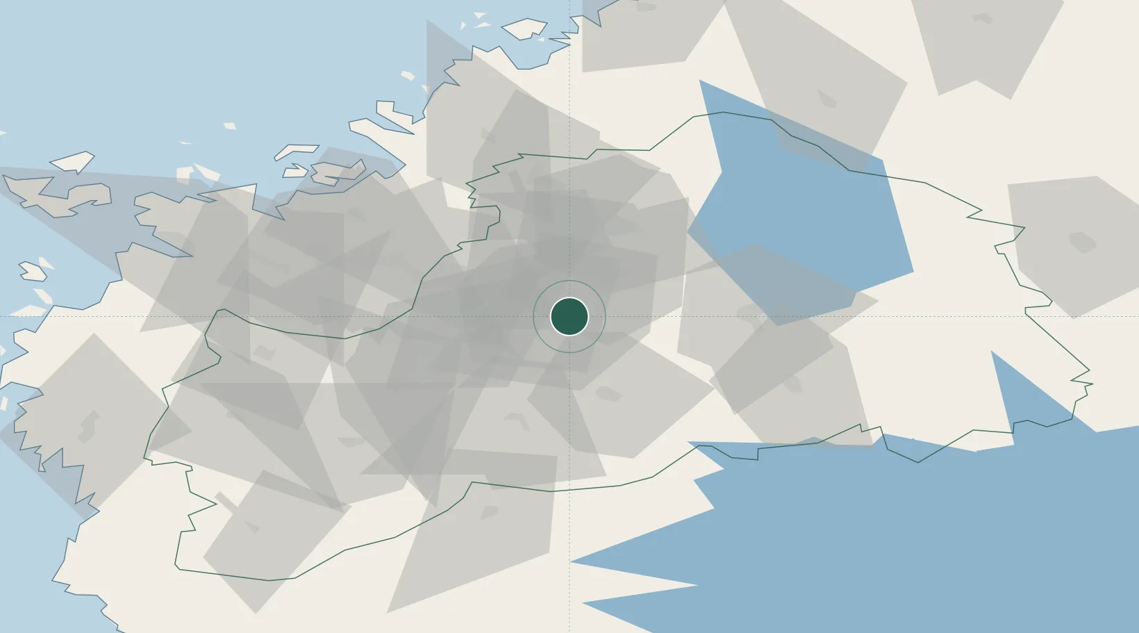
Location
Nearby Logistics Neighbours
Cities
- 1Koskenkorva28 km
- 2Ylihärmä34 km
- 3Kylanpää42 km
- 4Tervajoki43 km
- 5Tuuri51 km
Ports
- 1Hellnas60 km
- 2Kantlax72 km
- 3Vaasa73 km
- 4Nykarleby78 km
- 5Pietarsaari95 km
Airports
- 1Seinäjoki Airport16 km
- 2Kauhava Airfield34 km
- 3Kauhajoki Airfield49 km
- 4Vaasa Airport62 km
- 5Kokkola-Pietarsaari Airport100 km
Trade Zones
- 1Turku Free Zone268 km
- 2Oulu Port Free Warehouse Area270 km
- 3Freeport of Hanko334 km
- 4Free Zone of Lappeenranta338 km
- 5Port of Hamina-Kotka338 km
DatabookThe Record of Consolidated Knowledge
Finland beyond logistics?