UN/LOCODE hub · Finland
FIBRA

Brändö

60.4167°, 21.0500°
1
Transport functions

Transport Functions

Port
UN/LOCODE

Hub Profile

Region
01
GeoNames

Location

Location of FIBRA
Natural Earth 10m (public domain) · 01 · FIBRA · 60.42, 21.05GoogleOSMYandex

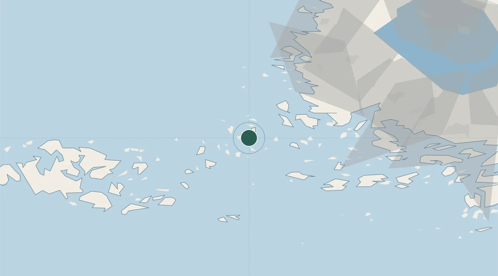
Nearby Logistics Neighbours

Cities
  1. 1Iniö19 km
  2. 2Kumlinge22 km
  3. 3Houtskär (Houtskari)29 km
  4. 4Harvaluoto33 km
  5. 5Velkua34 km
Nearest neighbours — logibook spatial index (haversine) over the source coordinates
Ports
  1. 1Uusikaupunki47 km
  2. 2Naantali53 km
  3. 3Pargas58 km
  4. 4Turku65 km
  5. 5Mariehamn72 km
Nearest neighbours — logibook spatial index (haversine) over the source coordinates
Airports
  1. 1Turku Airport67 km
  2. 2Mariehamn Airport72 km
  3. 3Pori Airport123 km
  4. 4Tampere-Pirkkala Airport177 km
  5. 5Kärdla Airport187 km
Nearest neighbours — logibook spatial index (haversine) over the source coordinates
Trade Zones
  1. 1Turku Free Zone64 km
  2. 2Freeport of Hanko121 km
  3. 3Stockholm Free Zone202 km
  4. 4Paldiski Free Zone207 km
  5. 5Muuga Free Zone254 km
Nearest neighbours — logibook spatial index (haversine) over the source coordinates
DatabookThe Record of Consolidated Knowledge
Finland beyond logistics?
Browse databook

All Sources

LocationsUN/LOCODE
UN/LOCODE — free
Portsthe NGA World Port Index
Public domain (US gov)
AirportsOurAirports
Public domain
Trade Zonesthe World Bank SEZ database
CC BY 4.0
Trade ZonesOpen Zone Map
CC BY
← Finland locations