Transport Functions
Port
Hub Profile
Region
19
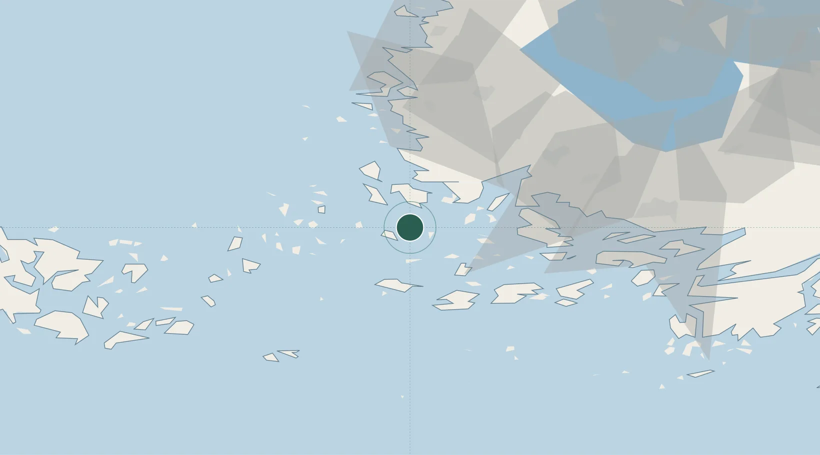
Location
Nearby Logistics Neighbours
Cities
- 1Velkua16 km
- 2Brändö19 km
- 3Houtskär (Houtskari)20 km
- 4Rouhu21 km
- 5Taivassalo (Tövsala)22 km
Ports
- 1Naantali35 km
- 2Pargas39 km
- 3Uusikaupunki45 km
- 4Turku46 km
- 5Uto69 km
Airports
- 1Turku Airport49 km
- 2Mariehamn Airport88 km
- 3Pori Airport120 km
- 4Tampere-Pirkkala Airport164 km
- 5Kärdla Airport176 km
Trade Zones
- 1Turku Free Zone45 km
- 2Freeport of Hanko104 km
- 3Paldiski Free Zone191 km
- 4Stockholm Free Zone218 km
- 5Muuga Free Zone236 km
DatabookThe Record of Consolidated Knowledge
Finland beyond logistics?