Transport Functions
Multimodal
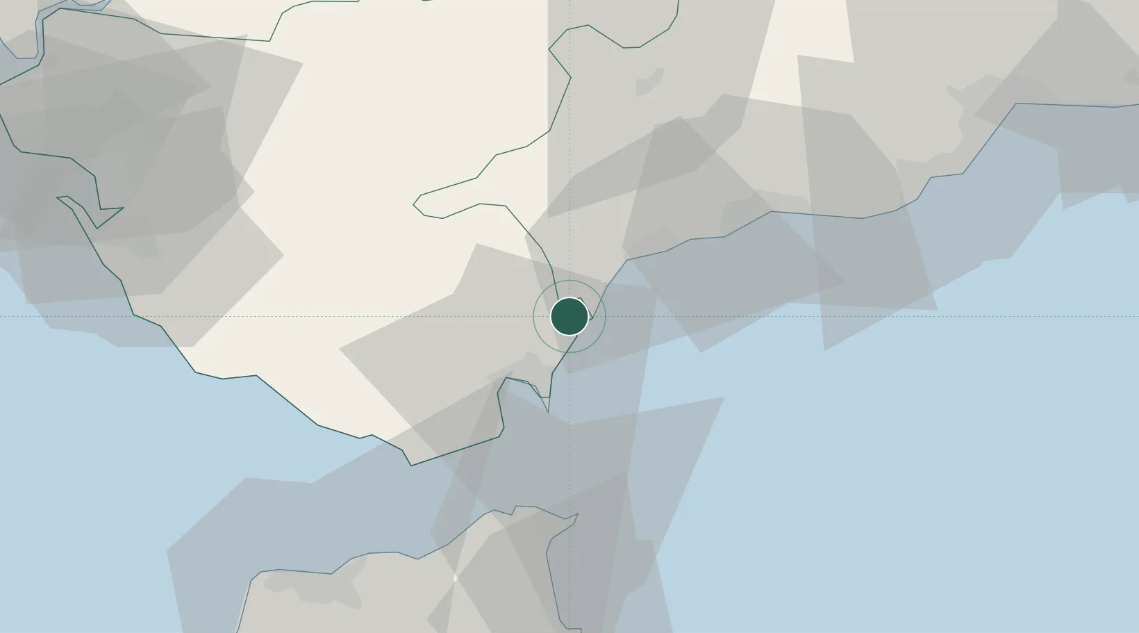
Hub Profile
Place type
Populated place
Region
Andalusia
Time zone
Europe/Madrid
Elevation
30 m
Location
Nearby Logistics Neighbours
Cities
- 1Sotogrande2 km
- 2Waterport19 km
- 3Algeciras22 km
- 4Nueva Andalucia38 km
- 5Tahivilla42 km
Ports
- 1Algeciras22 km
- 2Ceuta45 km
- 3Tangier-Mediterranean49 km
- 4Tanger74 km
- 5Malaga92 km
Airports
- 1Gibraltar Airport17 km
- 2Algeciras Heliport23 km
- 3Ceuta Heliport45 km
- 4Tomás Fernández Espada Airfield71 km
- 5Sania Ramel Airport79 km
Trade Zones
DatabookThe Record of Consolidated Knowledge
Spain beyond logistics?