Transport Functions
Multimodal
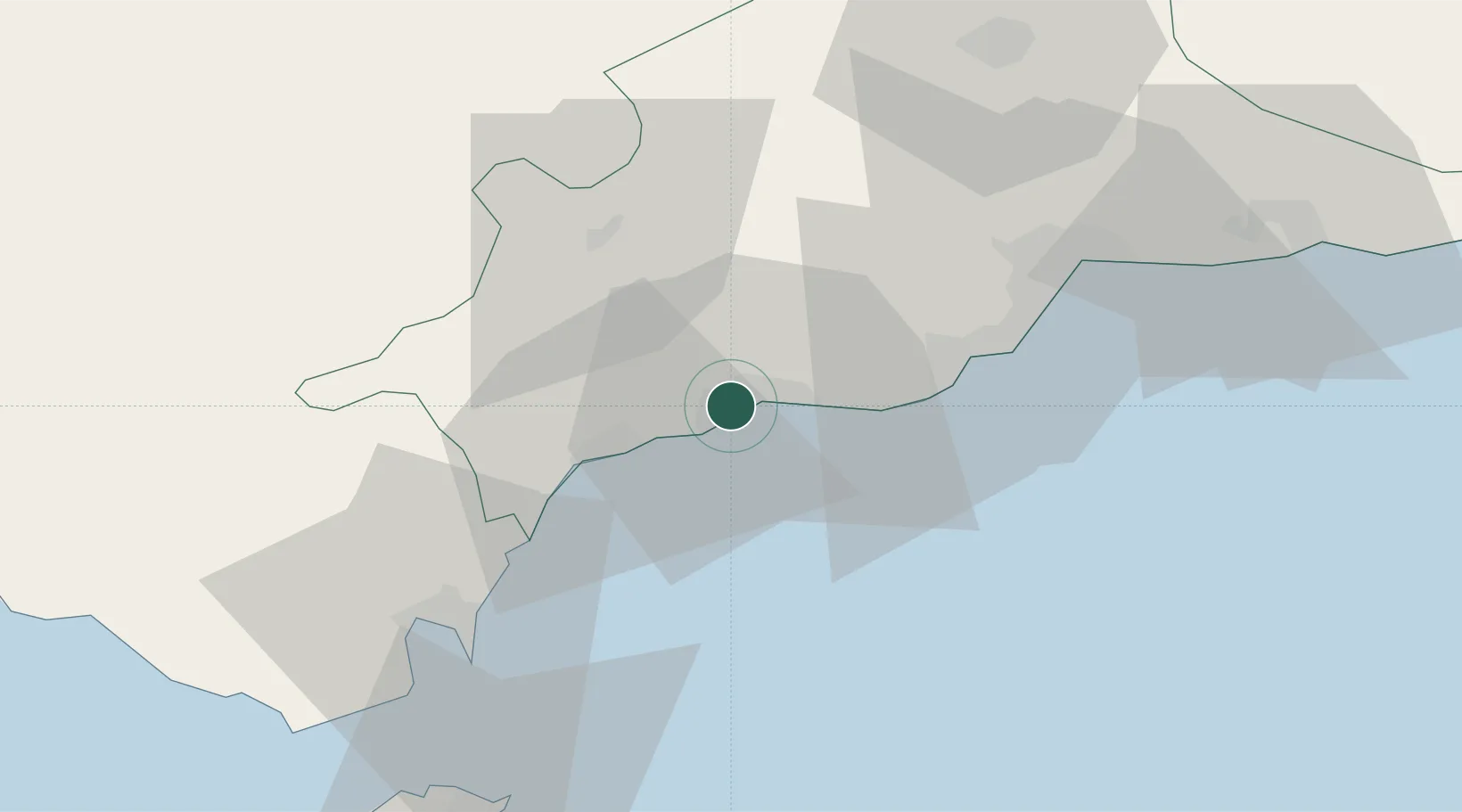
Hub Profile
Place type
Populated place
Region
Andalusia
Time zone
Europe/Madrid
Elevation
21 m
Location
Nearby Logistics Neighbours
Cities
- 1Monda18 km
- 2Tolox23 km
- 3Arriate37 km
- 4Guadiaro38 km
- 5Arroyo de la Miel39 km
Ports
- 1Malaga53 km
- 2Algeciras60 km
- 3Ceuta74 km
- 4Tangier-Mediterranean84 km
- 5Tanger111 km
Airports
- 1Málaga-Costa del Sol Airport45 km
- 2Gibraltar Airport53 km
- 3Algeciras Heliport60 km
- 4Ceuta Heliport75 km
- 5Tomás Fernández Espada Airfield75 km
Trade Zones
DatabookThe Record of Consolidated Knowledge
Spain beyond logistics?