UN/LOCODE hub · Spain
ESTV2

Tahivilla

36.1833°, -5.7500°
2
Transport functions

Transport Functions

Rail
Road
UN/LOCODE

Hub Profile

Region
CA
GeoNames

Location

Location of ESTV2
Natural Earth 10m (public domain) · CA · ESTV2 · 36.18, -5.75GoogleOSMYandex

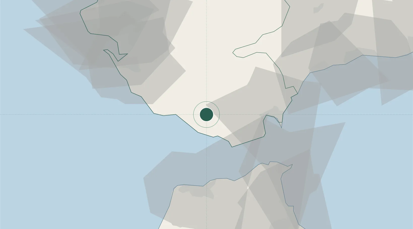
Nearby Logistics Neighbours

Cities
  1. 1Zahara de los Atunes9 km
  2. 2Barbate15 km
  3. 3Benalup17 km
  4. 4Algeciras27 km
  5. 5Conil de la Frontera31 km
Nearest neighbours — logibook spatial index (haversine) over the source coordinates
Ports
  1. 1Algeciras29 km
  2. 2Tangier-Mediterranean38 km
  3. 3Tanger45 km
  4. 4Ceuta50 km
  5. 5Cadiz63 km
Nearest neighbours — logibook spatial index (haversine) over the source coordinates
Airports
  1. 1Algeciras Heliport28 km
  2. 2Gibraltar Airport36 km
  3. 3Ceuta Heliport51 km
  4. 4Tangier Ibn Battuta Airport53 km
  5. 5Jerez Airport68 km
Nearest neighbours — logibook spatial index (haversine) over the source coordinates
Trade Zones
  1. 1Depósito Franco de Algeciras29 km
  2. 2Tanger Med Ksar el Majaz Mellousa Freeport42 km
  3. 3Autonomous City of Ceuta51 km
  4. 4Tanger Free Export Zone54 km
  5. 5Tanger Automotive City55 km
Nearest neighbours — logibook spatial index (haversine) over the source coordinates
DatabookThe Record of Consolidated Knowledge
Spain beyond logistics?
Browse databook

All Sources

LocationsUN/LOCODE
UN/LOCODE — free
Portsthe NGA World Port Index
Public domain (US gov)
AirportsOurAirports
Public domain
Trade Zonesthe World Bank SEZ database
CC BY 4.0
Trade ZonesOpen Zone Map
CC BY
← Spain locations