UN/LOCODE hub · Spain
ESZJX

Pueblonuevo

38.9167°, -6.7500°
62,840
Population
1
Transport functions

Transport Functions

Multimodal
UN/LOCODE

Hub Profile

Place type
Urban district
GeoNames
Region
Madrid
GeoNames
Population
62,840
GeoNames
Time zone
Europe/Madrid
GeoNames
Elevation
696 m
GeoNames

Location

Location of ESZJX
Natural Earth 10m (public domain) · Madrid · ESZJX · 38.92, -6.75GoogleOSMYandex

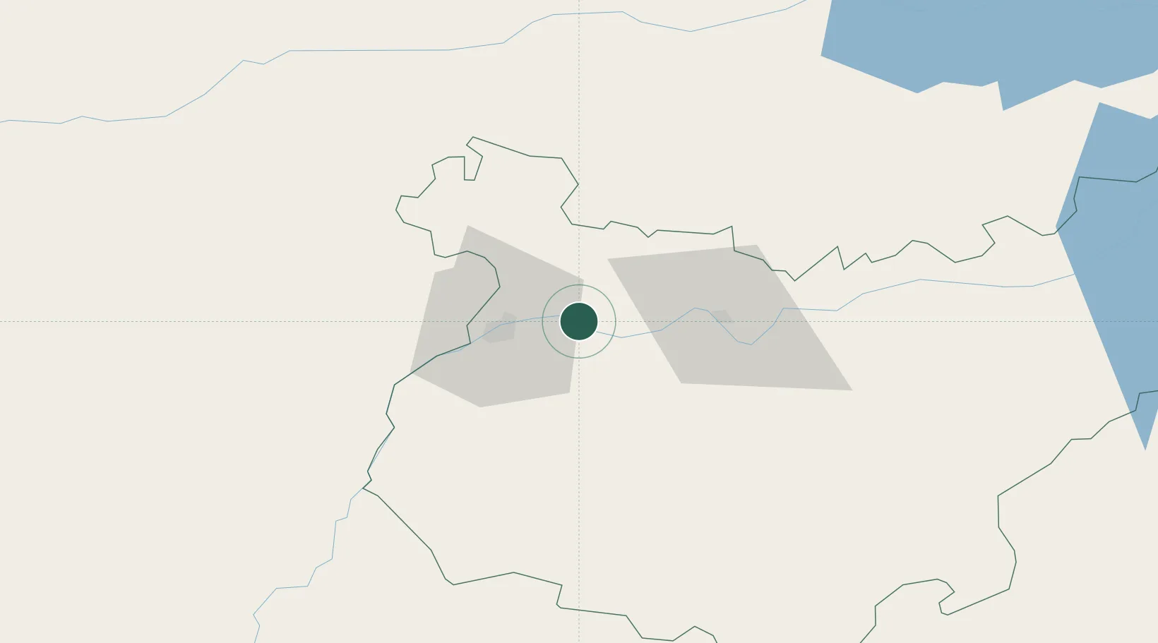
Nearby Logistics Neighbours

Cities
  1. 1Lobon14 km
  2. 2Badajoz22 km
  3. 3La Albuera23 km
  4. 4Castropodame23 km
  5. 5Arroyo de San Servan27 km
Nearest neighbours — logibook spatial index (haversine) over the source coordinates
Ports
  1. 1Sevilla184 km
  2. 2Huelva186 km
  3. 3Setubal192 km
  4. 4Vila Real De S Antonio201 km
  5. 5Lisboa211 km
Nearest neighbours — logibook spatial index (haversine) over the source coordinates
Airports
  1. 1Badajoz Airport7 km
  2. 2Estremoz Municipal Heliport75 km
  3. 3Évora Airfield108 km
  4. 4Aeródromo Municipal de Ponte de Sor118 km
  5. 5Aerodromo de Castelo Branco119 km
Nearest neighbours — logibook spatial index (haversine) over the source coordinates
Trade Zones
  1. 1Puerto de Huelva185 km
  2. 2Zona Franca de Sevilla188 km
  3. 3Zona Franca de Cádiz272 km
  4. 4VGP Park Santa Maria da Feira272 km
  5. 5Depósito Franco de Málaga285 km
Nearest neighbours — logibook spatial index (haversine) over the source coordinates
DatabookThe Record of Consolidated Knowledge
Spain beyond logistics?
Browse databook

All Sources

LocationsUN/LOCODE
UN/LOCODE — free
LocationsGeoNames
CC BY 4.0
Portsthe NGA World Port Index
Public domain (US gov)
AirportsOurAirports
Public domain
Trade Zonesthe World Bank SEZ database
CC BY 4.0
Trade ZonesOpen Zone Map
CC BY
← Spain locations