Transport Functions
Multimodal
Hub Profile
Place type
District seat
Region
Extremadura
Population
2,611
Time zone
Europe/Madrid
Elevation
241 m
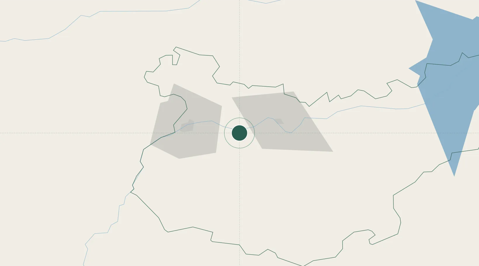
Location
Nearby Logistics Neighbours
Cities
- 1Pueblonuevo14 km
- 2Arroyo de San Servan14 km
- 3Castropodame15 km
- 4La Albuera23 km
- 5Torremegía23 km
Ports
- 1Sevilla174 km
- 2Huelva180 km
- 3Vila Real De S Antonio198 km
- 4Setubal202 km
- 5Sines220 km
Airports
- 1Badajoz Airport18 km
- 2Estremoz Municipal Heliport86 km
- 3Évora Airfield116 km
- 4Aeródromo Municipal de Ponte de Sor131 km
- 5Aerodromo de Castelo Branco131 km
Trade Zones
- 1Zona Franca de Sevilla177 km
- 2Puerto de Huelva179 km
- 3Zona Franca de Cádiz263 km
- 4Depósito Franco de Málaga272 km
- 5VGP Park Santa Maria da Feira285 km
DatabookThe Record of Consolidated Knowledge
Spain beyond logistics?