Transport Functions
Multimodal
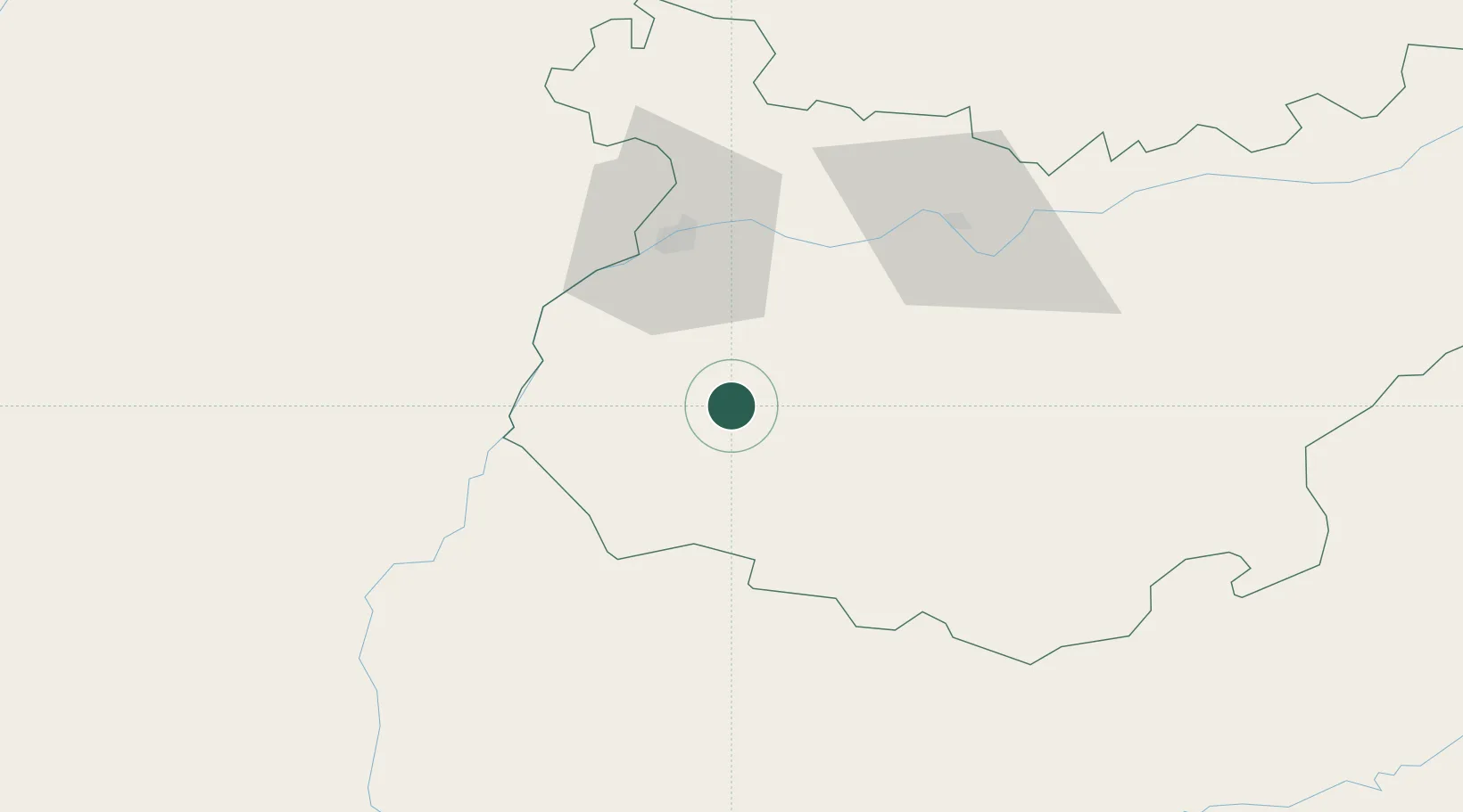
Hub Profile
Place type
District seat
Region
Extremadura
Population
3,643
Time zone
Europe/Madrid
Elevation
489 m
Location
Nearby Logistics Neighbours
Cities
- 1Salvaleon6 km
- 2La Albuera22 km
- 3Castropodame27 km
- 4Valuengo27 km
- 5Fuente del Maestre35 km
Ports
- 1Huelva141 km
- 2Sevilla148 km
- 3Vila Real De S Antonio156 km
- 4Setubal178 km
- 5Sines187 km
Airports
- 1Badajoz Airport42 km
- 2Estremoz Municipal Heliport74 km
- 3Évora Airfield91 km
- 4Beja Airport / Airbase106 km
- 5Madroñalejos Forest Fire fighting Heliport119 km
Trade Zones
- 1Puerto de Huelva140 km
- 2Zona Franca de Sevilla151 km
- 3Zona Franca de Cádiz230 km
- 4Depósito Franco de Málaga262 km
- 5Depósito Franco de Algeciras294 km
DatabookThe Record of Consolidated Knowledge
Spain beyond logistics?