UN/LOCODE hub · Spain
ESZFF
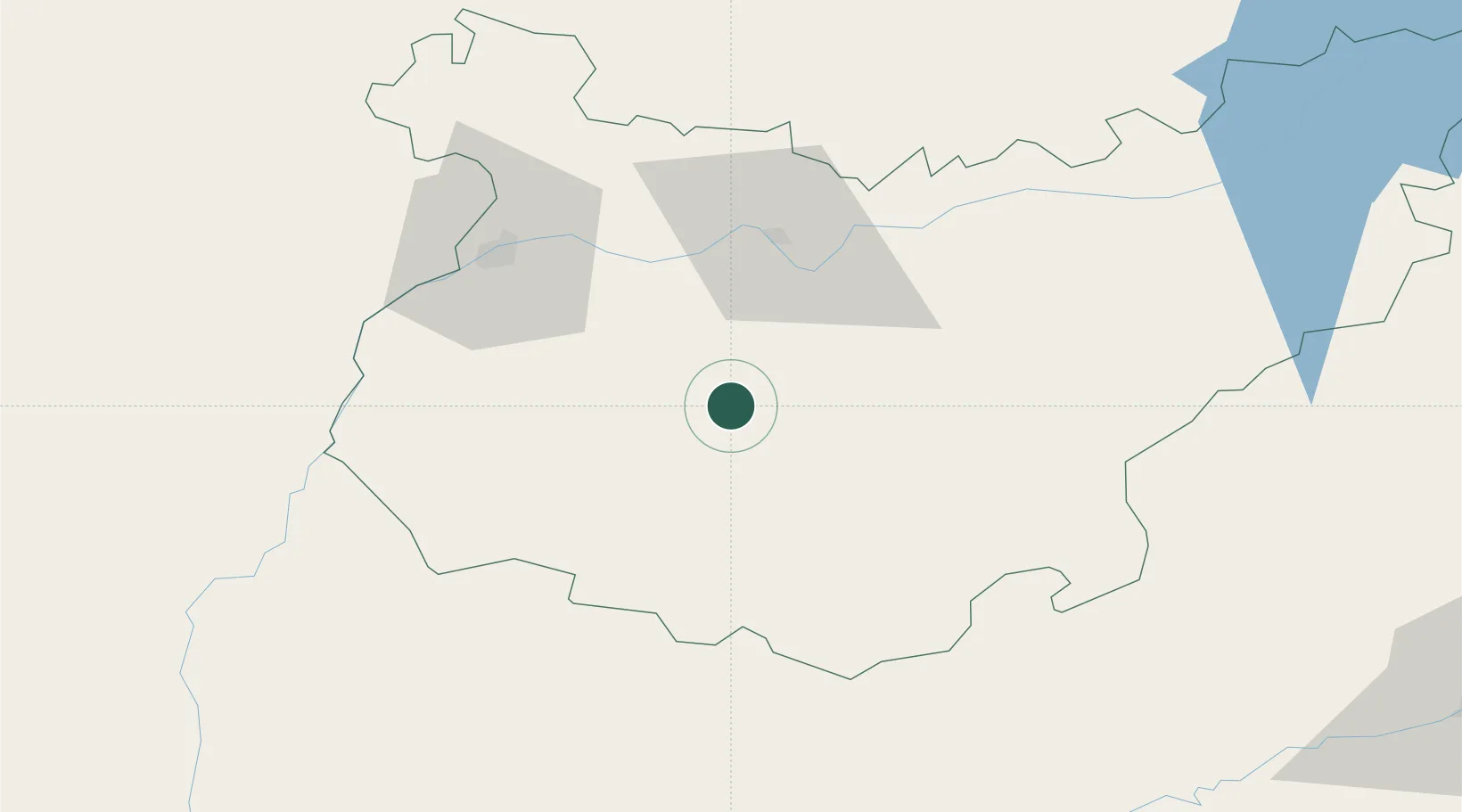
Fuente del Maestre
38.5500°, -6.4500°
6,748
Population
1
Transport functions
Transport Functions
Multimodal
Hub Profile
Place type
District seat
Region
Extremadura
Population
6,748
Time zone
Europe/Madrid
Elevation
444 m
Location
Nearby Logistics Neighbours
Cities
- 1Los Santos de Maimona13 km
- 2Puebla de Sancho Pérez17 km
- 3Ribera del Fresno19 km
- 4Medina De Las Torres25 km
- 5Castropodame26 km
Ports
- 1Sevilla137 km
- 2Huelva151 km
- 3Vila Real De S Antonio173 km
- 4Setubal213 km
- 5Faro213 km
Airports
- 1Badajoz Airport50 km
- 2Estremoz Municipal Heliport105 km
- 3Madroñalejos Forest Fire fighting Heliport113 km
- 4Évora Airfield125 km
- 5Seville Airport135 km
Trade Zones
- 1Zona Franca de Sevilla141 km
- 2Puerto de Huelva150 km
- 3Zona Franca de Cádiz228 km
- 4Depósito Franco de Málaga238 km
- 5Depósito Franco de Algeciras284 km
DatabookThe Record of Consolidated Knowledge
Spain beyond logistics?