Transport Functions
Multimodal
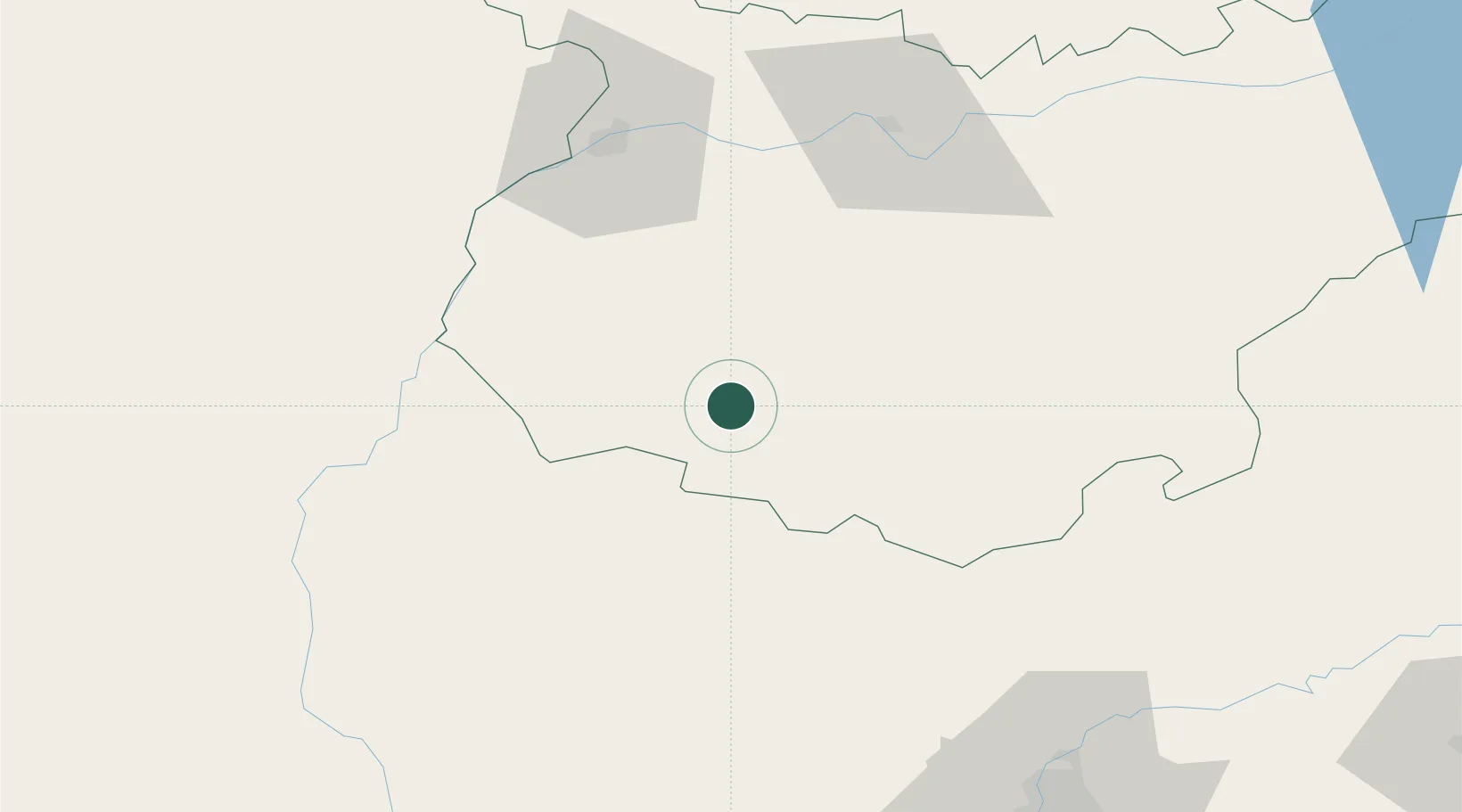
Location
Nearby Logistics Neighbours
Cities
- 1Higuera la Real19 km
- 2Valencia del Ventoso21 km
- 3Salvaleon25 km
- 4Medina De Las Torres26 km
- 5Cumbres Mayores27 km
Ports
- 1Huelva119 km
- 2Sevilla121 km
- 3Vila Real De S Antonio139 km
- 4Faro178 km
- 5Rota190 km
Airports
- 1Badajoz Airport67 km
- 2Madroñalejos Forest Fire fighting Heliport92 km
- 3Estremoz Municipal Heliport98 km
- 4Évora Airfield107 km
- 5Beja Airport / Airbase111 km
Trade Zones
- 1Puerto de Huelva118 km
- 2Zona Franca de Sevilla124 km
- 3Zona Franca de Cádiz204 km
- 4Depósito Franco de Málaga237 km
- 5Depósito Franco de Algeciras267 km
DatabookThe Record of Consolidated Knowledge
Spain beyond logistics?