UN/LOCODE hub · Egypt
EGMEA

Porto Marina El Alamein

30.8167°, 28.9833°
2
Transport functions

Transport Functions

Port
Road
UN/LOCODE

Hub Profile

Region
MT
GeoNames

Location

Location of EGMEA
Natural Earth 10m (public domain) · MT · EGMEA · 30.82, 28.98GoogleOSMYandex

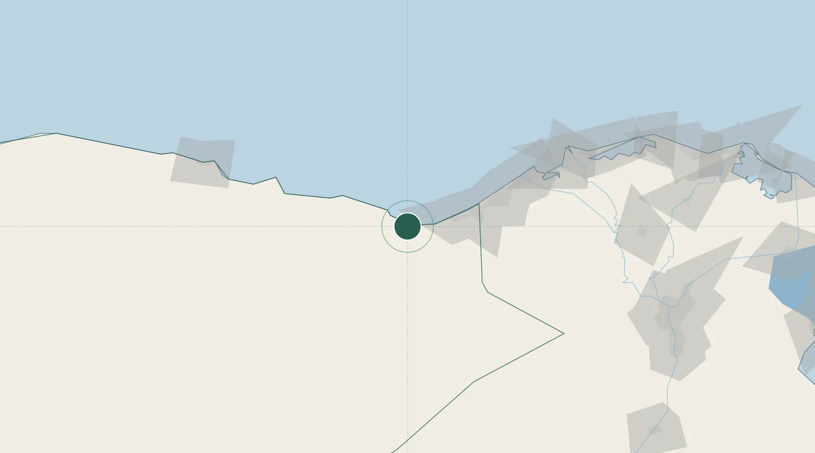
Nearby Logistics Neighbours

Cities
  1. 1Burj al Arab55 km
  2. 2El Iskandariya (Alexandria)94 km
  3. 3Abu Kir118 km
  4. 4Sadat City133 km
  5. 5Idku136 km
Nearest neighbours — logibook spatial index (haversine) over the source coordinates
Ports
  1. 1El Hamra Oil Terminal22 km
  2. 2Sidi Kerir (Kurayr)71 km
  3. 3Al Iskandariyh (Alexandria)90 km
  4. 4Abu Qir119 km
  5. 5El Maadiya122 km
Nearest neighbours — logibook spatial index (haversine) over the source coordinates
Airports
  1. 1El Alamein International Airport51 km
  2. 2Alexandria International Airport69 km
  3. 3Jiyanklis Air Base115 km
  4. 4Gebel El Basur Air Base154 km
  5. 5Mersa Matruh International Airport177 km
Nearest neighbours — logibook spatial index (haversine) over the source coordinates
Trade Zones
  1. 1New Alamein City Investment Zone9 km
  2. 2Alexandria Public Free Zone79 km
  3. 3Venus International Free Zone86 km
  4. 4Shebin El-koom Public Free Zone195 km
  5. 5Banha Investment Zone215 km
Nearest neighbours — logibook spatial index (haversine) over the source coordinates
DatabookThe Record of Consolidated Knowledge
Egypt beyond logistics?
Browse databook

All Sources

LocationsUN/LOCODE
UN/LOCODE — free
Portsthe NGA World Port Index
Public domain (US gov)
AirportsOurAirports
Public domain
Trade Zonesthe World Bank SEZ database
CC BY 4.0
Trade ZonesOpen Zone Map
CC BY
← Egypt locations