Transport Functions
Rail
Road
Multimodal
Hub Profile
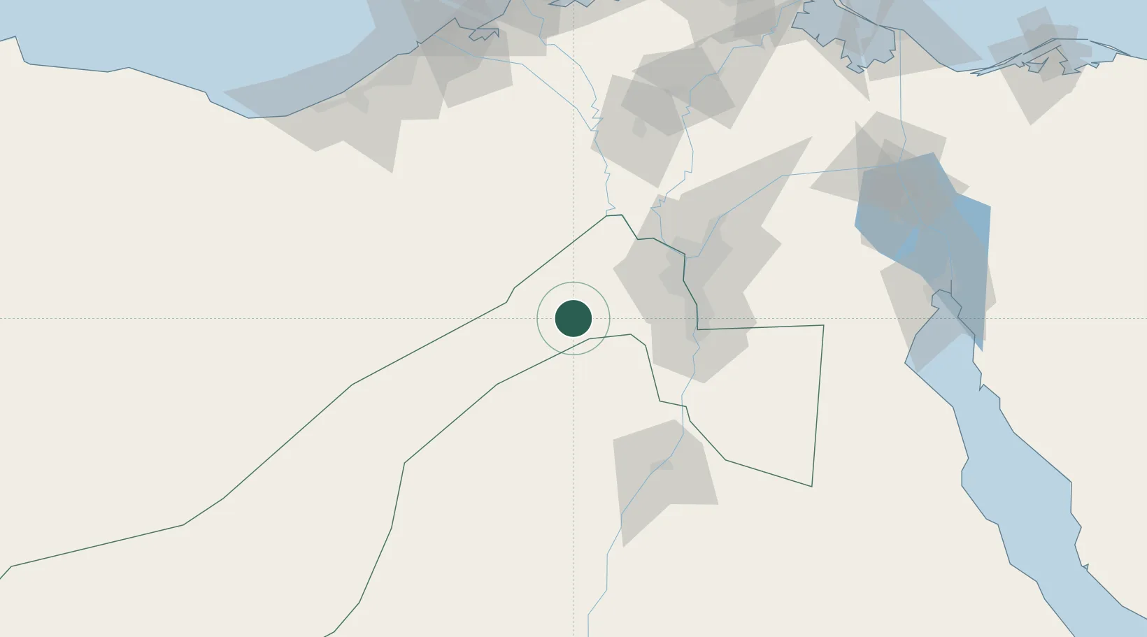
Region
GZ
Location
Nearby Logistics Neighbours
Cities
- 16th October25 km
- 2Sixth of October City34 km
- 3Al Minya60 km
- 4Al Haram63 km
- 5Qalyub64 km
Ports
- 1Sokhna Port Gas Tanker Terminal165 km
- 2Ain Sukhna Terminal165 km
- 3Sidi Kerir (Kurayr)168 km
- 4El Maadiya169 km
- 5Al Iskandariyh (Alexandria)170 km
Airports
- 1Sphinx International Airport39 km
- 2Cairo West Air Base41 km
- 3Almaza Air Force Base73 km
- 4Bani Sweif Air Base76 km
- 5Cairo International Airport78 km
Trade Zones
DatabookThe Record of Consolidated Knowledge
Egypt beyond logistics?