Transport Functions
Port
Hub Profile
Region
74
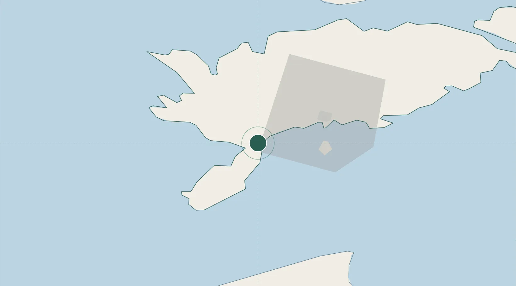
Location
Nearby Logistics Neighbours
Cities
- 1Läätsa4 km
- 2Lõmala8 km
- 3Ahoi Jõesadam9 km
- 4Nasva10 km
- 5Nasva Jõesadam11 km
Ports
- 1Roomassaare16 km
- 2Saaremaa sadam41 km
- 3Virtsu86 km
- 4Heltermaa91 km
- 5Ventspils95 km
Airports
- 1Kuressaare Airport17 km
- 2Ruhnu Airfield73 km
- 3Kärdla Airport98 km
- 4Pärnu Airport133 km
- 5Jūrmala Airport148 km
Trade Zones
- 1Free port of Ventspils96 km
- 2Paldiski Free Zone167 km
- 3Free Port of Riga174 km
- 4Freeport of Hanko188 km
- 5Muuga Free Zone203 km
DatabookThe Record of Consolidated Knowledge
Estonia beyond logistics?